



Please note that this is not a guide how to be responsible cyclists in the bush!
By Seamus Smart
11-12/ 05/ 2026
Party: Seamus Smart, Austin Hsu
A parody of this classic.
*Note from Web Officer: If you've had a great (or even not so great) adventure - whether it was on an official club trip or private trip, please consider writing up your experience and sending it to webadmin@unswoc.org and we'll post it on the website. Thanks!
Intro
The idea for this trip came about when I saw some Instagram reels talking about how good the Attack of the Buns bikepacking route was (I blame you Zuck). One post in the UNSWOC Facebook group later and I had a willing companion, a man called Austin, I hadn’t met him before but he seemed pretty chill.
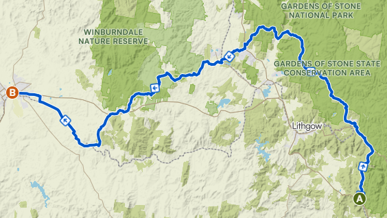
After a bit more deliberation we realised our fitness level was buns and the Buns was probably a bit outside our limits for a first bikepacking trip together. Austin had this great idea to ride from one train station to another (as none of us wanted to drive). He came up with the great idea of cycling from Mt Victoria to Bathurst and ride Mount Panorama, the v8 Supercars track. A ready-made route didn't exist, so we decided to make one. Austin had this great (we'll see about that) app called Komoot. Oh great, it automatically made a route that seemed to avoid highways and huge elevation. 60-70km per day? Camping at Sunny Corner State forest? Perfect.
Most of the route was reported on online cycling accounts, but there was a small section after Maiyingu Marragu (Black Fellows Hands Cave) that no-one had cycled through before (foreshadowing). Fortunately, some dirt bike riders had gone through before. Unfortunately they labelled their trip as "hellish". We told ourselves we'd do the responsible thing and carefully examine the route.
By the end of the report you should be able to tell if we actually did that...
The Start
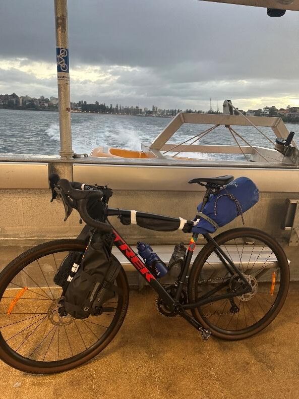
Bags packed, phones charged, pockets and pouches bulging with chocolate and gummies, we took the train up to Mt Victoria. Of course a few things had been forgotten (sunnies and gloves), but the mood was high and undampened by biting wind and rain droplets.
The ride began with a super nice rolling firetrail, which hugged the trainline north.
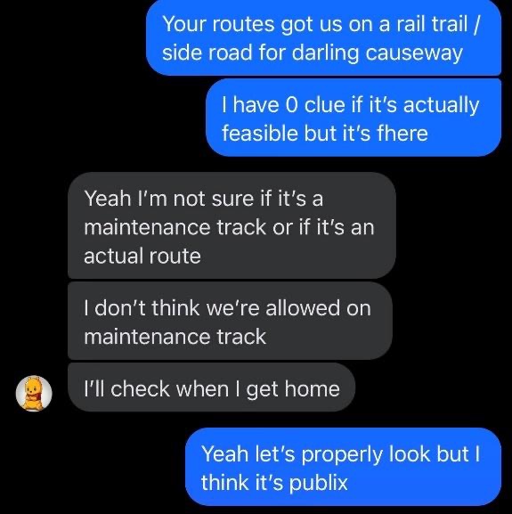
We then were met a 10km section which wasn't as great because it ran directly adjacent to the rail corridor. The (sometimes narrow) and quite busy Darling Causeway didn't look too inviting, so we made some poor choices of where to ride. For reasons regarding pride and the Rail Safety Regulation (2008) we'll leave it at that.
Half an hours struggle later, we found a nice fire trail again. Needless to say, we were stoked the weather even cleared up! Everything was going swimmingly.
From Newnes Junction we followed the route onto State Mine Gully Road. Funny that, the roads got State Mine in the name. Don’t worry, when we saw mining equipment we did realise we were riding along the perimeter of a mine. This road seemed super smooth and nice for a dirt road, which felt like it was a bit of a waste of resources for such an isolated road. A few minutes later, we were met with a huge mining truck driving towards us. We thought “That’s strange but its probably the only one!”. We were wrong.
We proceeded to be continuously jump scared by trucks, which somehow seemed to have a special ability of remaining completely silent until they emerged around a corner.
I thought back to momentum and impulse from HSC physics and compared the size and speed of us to the size and speed of them, and thought that it probably wouldn't be a good idea to hit one, so we slowed down.
Somewhere on the trail between truck 3 and truck 10 I saw a small yellow sign on the ground stating “Road Grader Operating next 3 km”. I brushed it off, not realising what a road grader was, and assuming it was probably outdated, like all the road work speed limits you see in Sydney…
At some point along this road, around halfway, the road was bending slightly to the left and Austin had the cheek to do a Lego Batman and say, “Imagine if there’s a truck round this corner”. Lo and behold there was.
Clip for context:
https://www.instagram.com/reels/DT5UU0ZgazQ
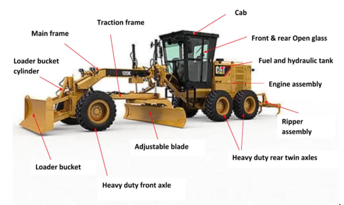
The other major incident/close call along this road occurred when we were riding downhill around a steep, tight corner, almost a switchback. Austin was in front, around 20m up the road, and bravely decided to take the inside line round the blind corner. As he went for this, I yelled at him to be careful and go round the outside. In doing that I probably made it worse. He looked back at me, trying to work out what I had said. When he looked forward again, a road grader was about 6 or 7 seconds away from grading him.
Fortunately he was not pancaked. After a moment to collect ourselves, we continued through riding. The only hazards were patches of deep sand where the bikes would get a bit squirrelly. Eventually we found the picnic area and had lunch.
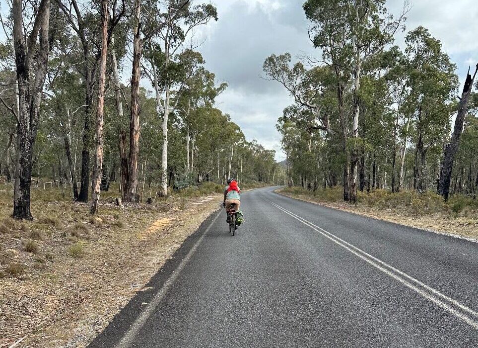
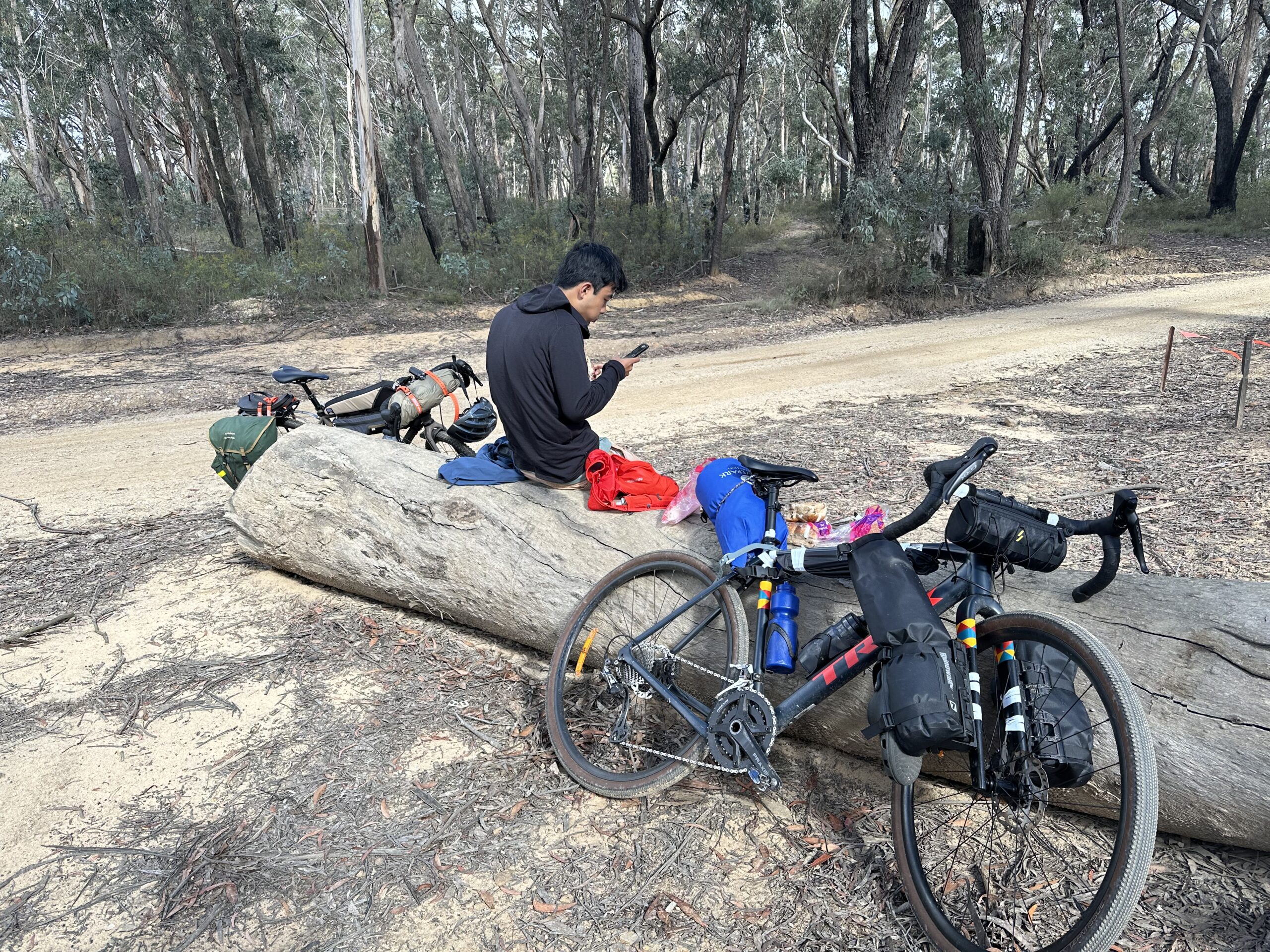
After around a 15-minute break (take notes Suds) where I shoved my 3 hot dog buns down (they’re denser than you think) to match Austin quickly eating his peanut butter sandwiches, we set off again. What followed was some really fire fire trail (see what I did there), with a few sweet descents, for another 15km or so. I had watched Paris-Roubaix a few weeks before this so pretending I was Wout gave me some extra motivation to keep the pace up both downhill and uphill. We stopped a few times to let some guys on dual sports pass, but it was pretty uneventful.
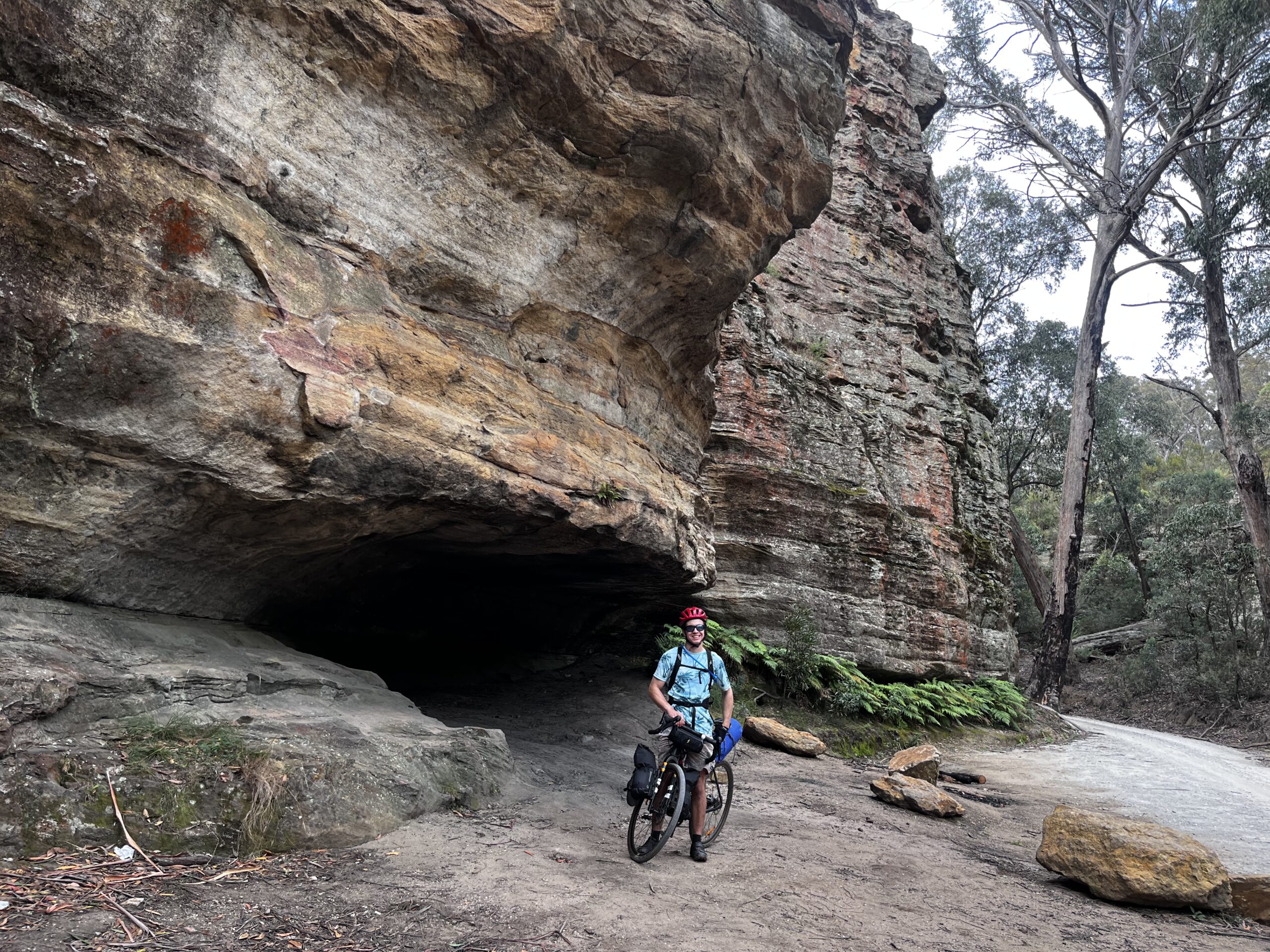
The fire trail then joined up with some nicer, more maintained road as we started the beautiful descent into Maiyingu Marragu (Black Fellows Hand Cave). This was probably the most scenic part of the trip. Some POV shots were recorded for the gram.
We were then treated to paved road as we turned onto the very quiet Wolgan Road, and then Baal Bone Gap road. We rode and enjoyed the easy going and pristine environment (if you ignore the mine 10km away). It was very nice.
The Wheels Come Off
After the only 5 minutes of the trip at a pace above 25km/h our route took us off this and onto quite a rough fire trail to the right. We continued down this loving life for 30minutes before I realised we were a little way past where the gpx turned off this trail to the left. We retraced our steps (pedal strokes?) and found concepts of a path… through some bushes and across a small river. This path was surprisingly unestablished however on the other side of the river the footpad was just wide enough for us to mostly stay on the bikes with only an occasional dismount.
After half an hour of deluding ourselves that the gps trace corresponded to a real path, we came across a line of metal poles, about knee height and 50m apart. Even though we didn't know what they were or represented, it corresponded roughly with the gps route, so we decided to follow it. It was lucky we had these, as the bush got thicker and thicker, sort of like the fog getting thicker in a video game as you near the edge of the map.
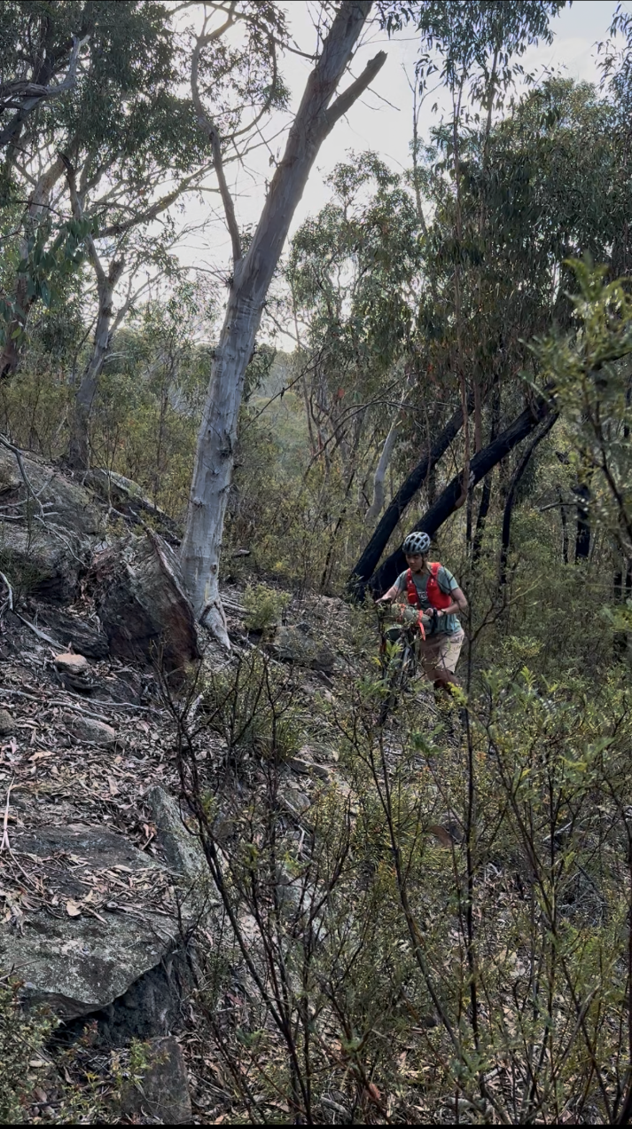
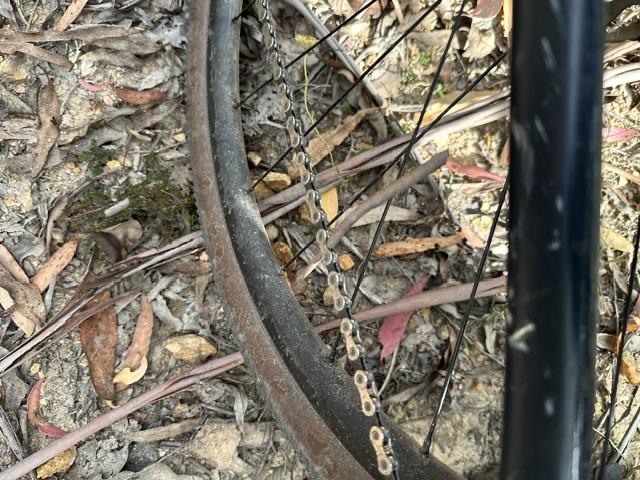
It was at this point we properly rechecked the gpx and saw the "trail" was approximately 100m downhill of where we were. We thought that if we just continued through the bush, we would eventually joined up. This involved a horrid and painful bush bash - leaving your bike, breaking branches ahead to forge a path and then heaving the laden bike a metre forward. As an aside, I’ve recently walked the K2K a route notorious for its bushbashing, and I’d say this was worse, even if we didn’t have bikes and proper shoes. Anyway, we eventually made it to where the gps says we should be and there’s absolutely no trail there. At this point we fully accept it’s a fool’s errand but decide we’ve come too far and that’d we’d be better off time-wise if we keep pushing this way, rather than bushbashing backwards (I hate you sunk cost fallacy).
The bushbashing continued, however the route was now aimed at a steep hill. Driven by the hope of the apparent firetrail along the ridge, we continued up this part-slab-climb-part-sand-dune, except instead of hiking shoes we were wearing cycling cleats. There were a couple parts where Austin couldn't lift his bike up the ledges, and I had to go back and help.
We eventually got our bikes to the top of the hill and after a little more bushbashing we found it… the trail we’d probably been bike-bushbashing towards for 2.5 hours at that point. We then realised we wouldn’t to get to original destination for the night and optimistically reckoned that we could make it to the town of Portland by sunset if we locked in, and that we’d just camp somewhere on the outskirts of it.
We continued along this trail for a few hundred metres but suddenly a stick (log?) was sucked up into my wheel. Unfortunately, I keep pedalling hard and hear a loud cracking/ snapping noise. After one look I knew it wasn't the stick.
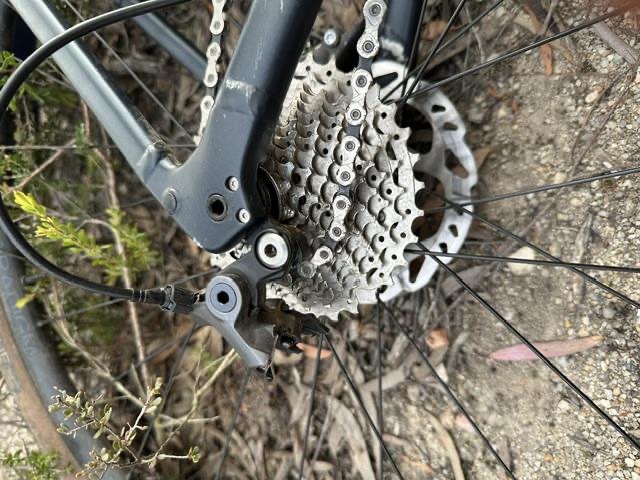
Now I’m not sure how much you know about bikes but when the derailleur's hanging from the chain instead of the frame, it's normally not a good sign. My derailleur had snapped in half, rendering the bike pretty much unusable, as the derailleur not only allows you to shift to easier gears (necessary when there are hills), but also keeps tension so the chain engages the cassette (and allows you to pedal). We were 10km from the nearest road, and around 15km total to Portland, so walking wasn’t really an option (or a great one anyway).
Not to worry, Austin and I had both had MTB backgrounds as kids, so we had the same idea of convert the bike to a single speed setup by shortening the chain. This would’ve allowed me to keep riding, just without the luxury of gears. We weren’t sure on the exact way to do it though, but luckily had a bar of cell signal, so we pulled up the GCN video on the topic. We didn’t have a spare quick link so it was a super finnicky process half removing chain pins, making sure not to remove them entirely, and then aiming to reseat them. Maybe it was due to the age of my chain tool, but we couldn’t get this to work, no matter how tauntingly easy the video showed it was. As we tried this process again and again the length of the chain decreased, until it was too short to be used.
The sun had now set.
With no chain, this now meant I had to face the grim reality of pushing my bike 8km along rolling fire trail to the road, and then an extra 7km along the highway to Portland. We had to make a plan. We knew that Portland IGA closed at 8pm. 15km in 2.5 hours? Easy peasy. If we got there in time to buy some delicious food at least the day would end on a positive.
So, we continued our journey along the fire trail, with me pushing my bike along the flats and uphills, and riding it downhill, keeping as much momentum as I could and staying on the bike as long as possible to maximise time gains. This led to me taking unnecessary risks on the descents, with a few close calls, not helped by the darkness and the huge divots and canyons left by 4WD enthusiasts. To make matters worse, I wanted to conserve my head-torch battery in case we were delayed even further, so I was rolling downhill by moonlight. Austin had (perhaps cleverly) decided to ride a little bit behind me so there wouldn't be another accident. Unfortunately this mean't I couldn't share his light. 2/3 through the journey to the road it got too dark and we’d both had too many close calls, so we both decided to just walk until paved road. It was around this time we got to a small peak and first saw the lights of some cars on the highway; the end was in sight!
We descended from this peak and made it to Castlereagh highway. The relatively wide shoulder did nothing to assuage our fears of death as huge trucks blasted past - their lights and roaring engines piercing the dark silence of the unlit road. The blinking light and reflectors on the back of Austin's bike felt very inadequate, and I had forgot to put one on mine. Unfortunately this theme of anticipating huge trucks blazing over crests and round blind corners continued until much closer to Portland, even on the quieter Boulder Road after the power station turnoff.
We continued in this anticipatory state, making wild dashes across the highway to turnoffs and across big junctions when there were big gaps in the traffic, and diving into ditches and behind barriers when the blinding spectacle of high beams threw our figures into relief on the bush and tarmac. After an hour of rolling and walking, listening and diving, we saw the beautiful lights of Portland. The end was in sight, we had got to the edge of town. Never had rows of houses and chain link fencing elicited such relief. Through some foot pushing by Austin and a beautiful Froome-esque aero tuck by me, we picked up speed on the downhill and soon we were turned off Boulder Road and rolling down Main Street.
As we pushed the final stretch we discussed where to put up for the night. Unfortunately, the delicious smell of frying meat wafting from families sitting down for dinner distracted us, and the discussion turned to what great number of chips and drinks we would be enjoying in a few minutes. The beautiful illuminated sign of the IGA greeted us. The arduous of the day were over!
As we stepped inside, the 60-year-old shopkeep snapped us out of our dream fervour. "Hurry up, we close at 7:30". If we had arrived even a minute later, the shop would’ve shut and we wouldn’t have been able to get the chips, lamingtons and coke that saved the day.
After rushing around the aisles buying the food that seems to ordinary when at home but so amazing when on a trip, reality hit us. We were in the middle of a town in the middle of nowhere and we didn’t have a place to camp for the night, let alone a plan to get back to Sydney the next day. Obviously the plan to get to Bathurst was down the toilet. One thing at a time, so we focused on finding a place to sleep. Austin went full Yes Theory and started asking the staff if we could pitch our tents in their gardens…. Those videos must be fake because they all said no, even when offerred a crisp $50 dollar note. The main lady who I was still a bit annoyed with from before told us we should just sleep on the town’s soccer field, opposite the store.
We gave ourselves a little break to eat and discussed our next moves.
Safe and Sound!
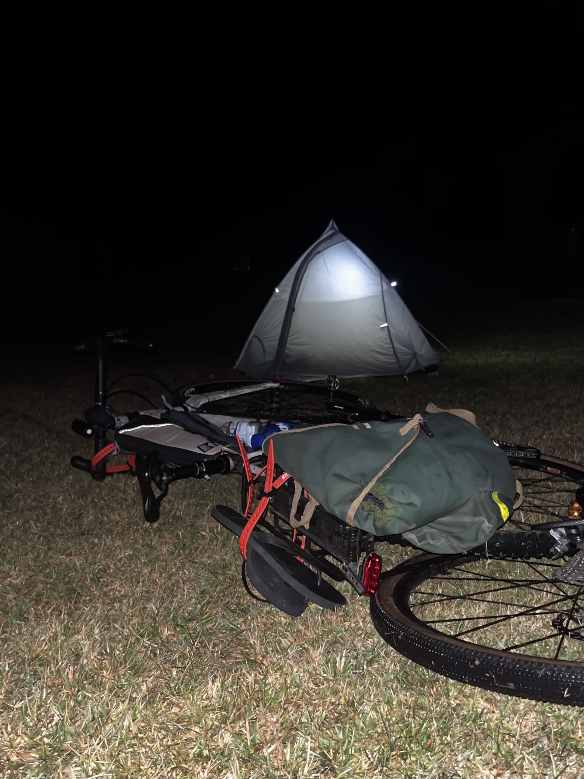
I thought it’d be a better idea to find a place on the outskirts of the town, to not annoy anyone, but Austin’s reasoning and my tiredness got the better of me, and we committed to sleeping on the pitch.
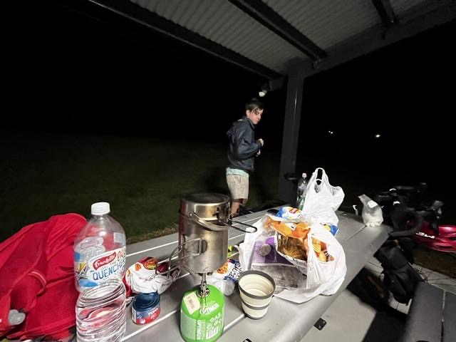
We found the darkest point of the pitch, set up our tents, and then suspiciously cooked our pasta in the picnic area next to the football club office. I wondered if anyone had ever cooked beef-jerky-pesto-pasta there before. It tasted unbelievable and it totally was due to my choice of flavours not the number of calories I had burned.
The nail in the coffin for the day was when I decided to drain my pasta water into the shelters bin and dropped the lid of my ultralight pot into it, costing me $40. If you know me, you know I like my gear, so this was devastating.
Anyway, that ended the day outside which is probably my record for the most things going wrong. We chained our bikes up, hopped in the tents, and hoped curious dog walker wouldn’t wake us up at 4 in the morning.
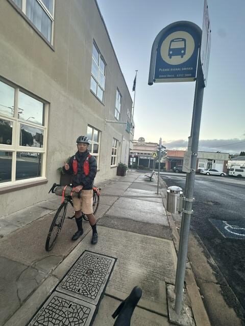
We didn’t get much of a break the next morning as we had an early bus to hopefully catch to Lithgow. I say hopefully as officially, bikes aren't allowed on busses.
At precisely 6:45am the bus arrived. However when it got there it took the driver about a minute to get the door to open, which didn’t help my nerves.
Luckily, though once he found the button, we learned he was super nice and understanding, especially when we told him I had absolutely no other way to get to Lithgow. We were let on, and it was bliss. Quick bite in Lithgow, then we headed on the train home. This trip was certainly an experience - type 1, 2 & 3 fun all in one!
Lessons Learnt
- Never ever download the app Komoot, let alone trust its gpx files.
- Austins comment: I don’t think there’s anything wrong with komoot, just check the route out more thoroughly next time
- Do more research and look through your route carefully, and plan alternatives.
- Always have high quality front and rear bike lights.
- Don’t be afraid to turn around and/or give up on the main objective.
- Don’t cross train tracks (more than once).
- Don’t ignore a sign saying “motor grader operating next 3km).
- Don’t take the inside line on a downhill blind corner on a road shared by mining lorry’s.
- Practise common fixes (especially work with chains) before heading out, if you can’t use your repair tools there’s not much point in bringing them.
- Pack a few spare quick links
- Don’t trust opening hours on google maps of shops in small towns
- Don’t drain your pasta water into a bin.
- Always pack a bit of cash on a hiking or bikepacking trip through a relatively urban area, just in case your only option to get hope requires persuading someone a little (lucky Austin was all over this).
- Have emergency times set with someone at home (ty Suds 😘) and let them know if those times need to be pushed back.