Hike 19km in 2 days along Grand Cliff Top Walk, which seamlessly links Wentworth Falls, Leura, and Katoomba. You’ll discover Aboriginal culture, spectacular lookouts, countless waterfalls, and unique Blue Mountains villages.
Listen for the call of yellow-tailed black cockatoos, named Wumbarrung in Gundungurra language. Wumbarrung is the wayfinding icon for this walk. Significant to traditional custodians, its flight reflects the moods and seasons of Gundungurra Country.
– NSW National Parks
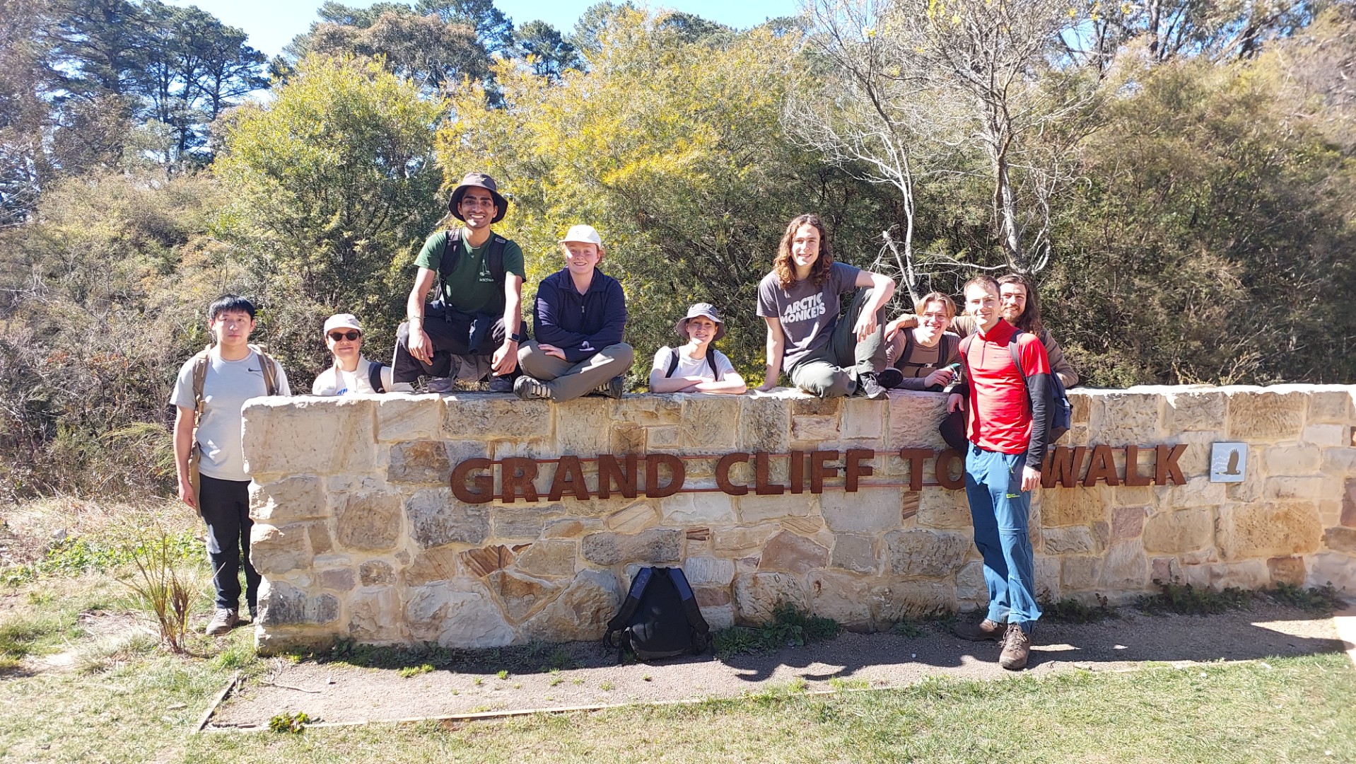
The “Grand Clifftop Walk” is a 21km route along the Blue Mountains clifftop from Wentworth Falls to Katoomba.
The walk was “grand opened” to much fanfare last year - after all the floods and weather events that significantly damaged many of the popular walking tracks in the area. National Parks has revamped and maintained this trail very well, with plenty of sandstone steps and handrails making for pleasant walking, and it is now one of their seven “Great Walking Experiences”.
Despite the grand opening, the route itself is not new. It has existed for a long time in sections as the Charles Darwin, Overcliff Undercliff, Nature, Lillians, Pool of Siloam, and Prince Henry Cliff walks. I’d done most of these sections separately in the past, so I was interested to see the upgrades. I joined Sophia to run this as a beginner club trip, and 8 other keen beans joined in our mission to smash the time estimate of “2 days”.
We met at Wentworth Falls station at 10:15 for a quite relaxed 10:30am start. The first section was the Charles Darwin walk alongside a creek, with lots of boardwalks and bridges zigzagging across.

There is a healthy amount of wayfinding signage along the way, and the route is characterised by the Black Cockatoo (see the first or last picture). This section ends at the charming Wentworth Falls Sewage Pumping Station, from where a short street detour takes you to Wentworth Falls Lookout.
N.B. The section of the Darwin walk that we detoured finished track repairs and reopened the day after we did the walk…
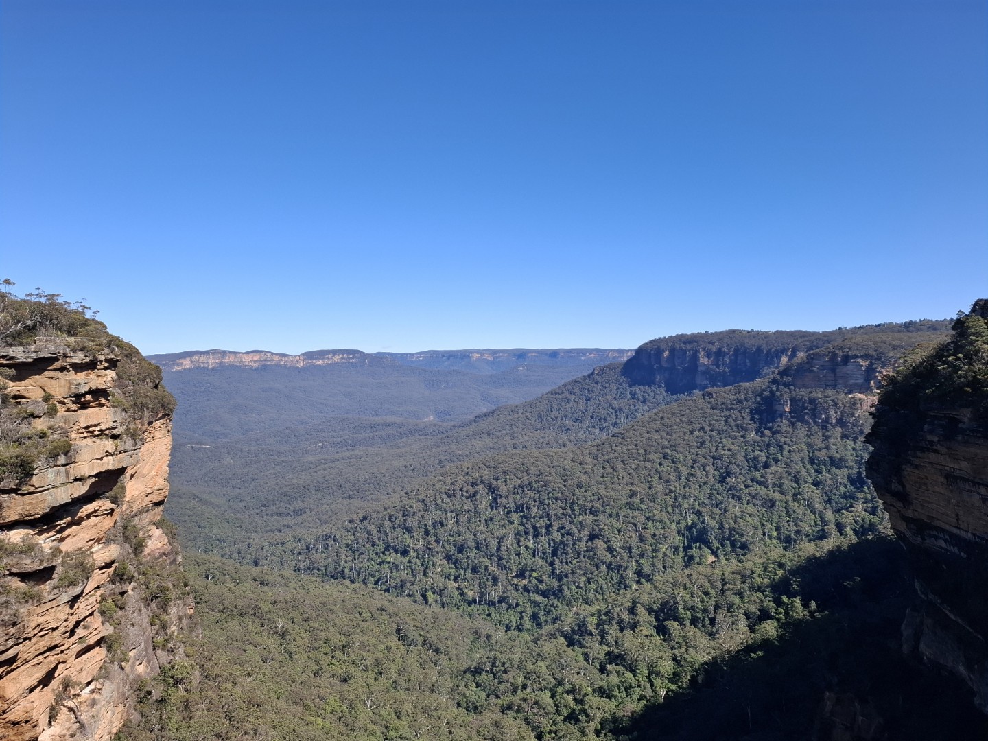
We’re treated to our first view of the Jamison Valley now, through the narrow cleft carved through by the eponymous Jamison Creek. We are about to become very well acquainted with this valley, as the rest of the walk skirts this very cliff top (who would have guessed).
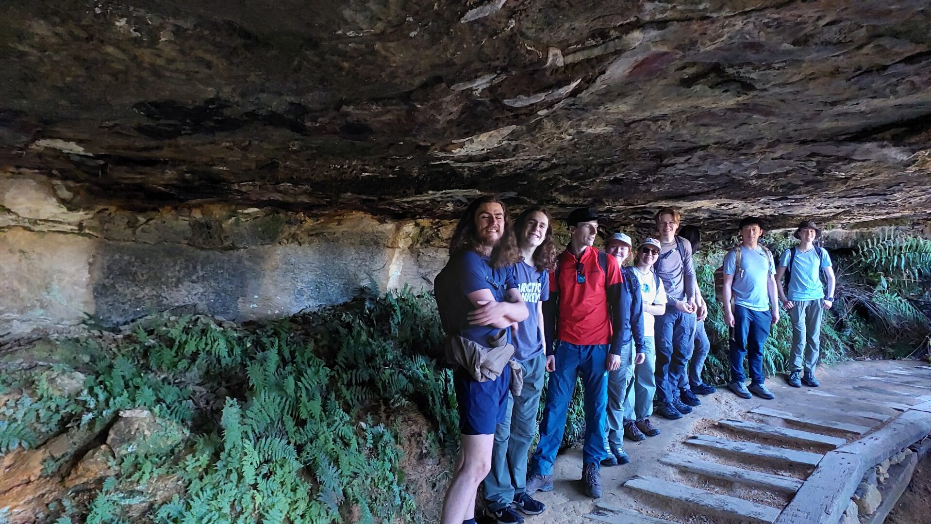
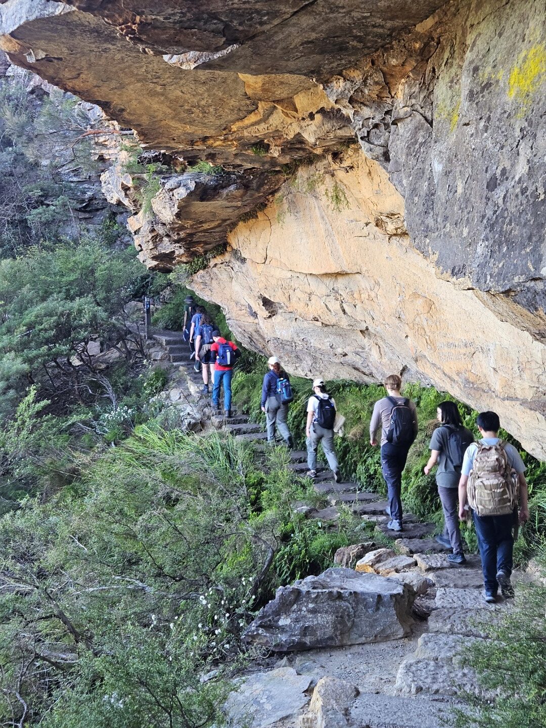
Our next section follows the overcliff-undercliff track, passing some lovely gullies and cave-like overhangs.
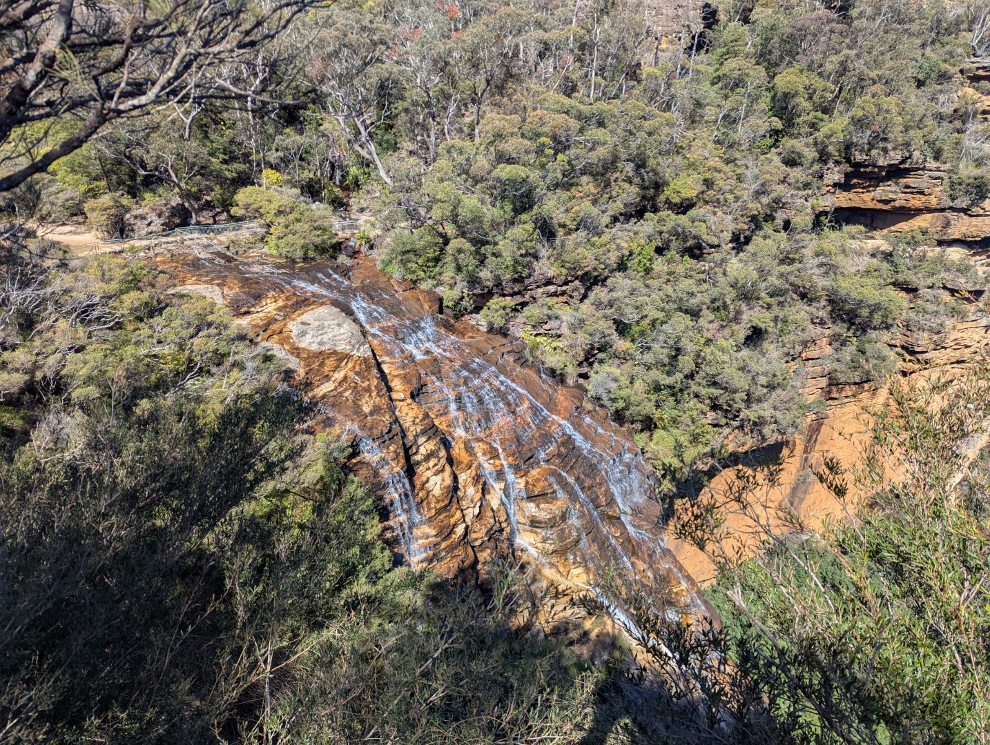
We join the Nature track around 12:30, getting our first views of the Empress Falls that we’ve been hearing from the distance. I offer the group a “quick sidetrip” down to the bottom of Empress falls but they kindly decline. Apparently we have enough elevation on this walk, or something…
The track winds back up the Valley of the Waters and we soon enter the back of the Fairmont resort – about 1km of this track is on their private land with an agreement with NPWS. A quick chat to one of the friendly workers there later, we make our way onto Sublime Point Road.
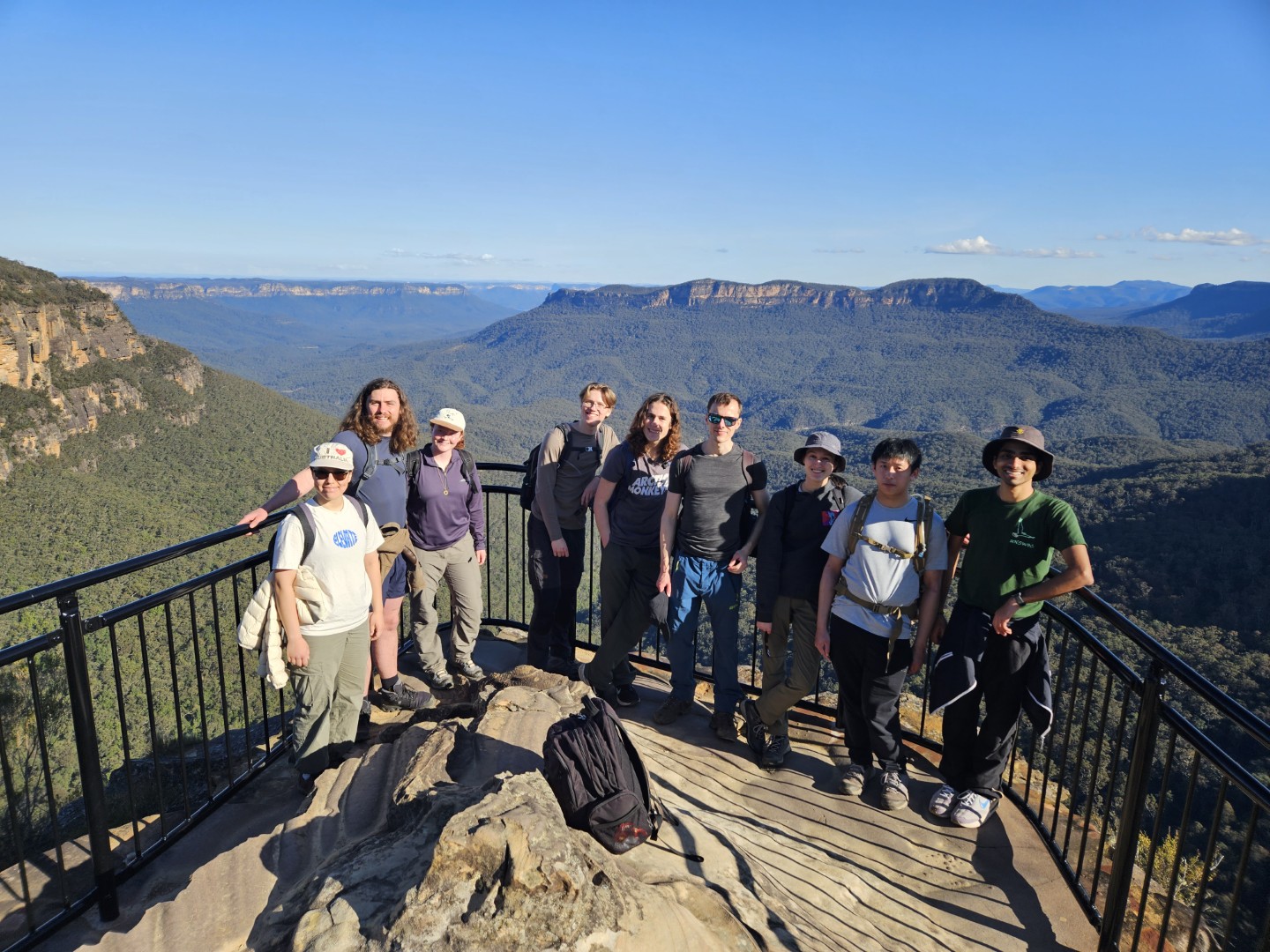
I make the group another offer for a sidetrip - about 1km away is Sublime Point lookout. I tell them that the view there is truly sublime and are potentially the best views of the entire journey. A full three minutes are spent deliberating and about half decide to join me. Sophia stays with the others – she says she’s seen that view plenty of times.
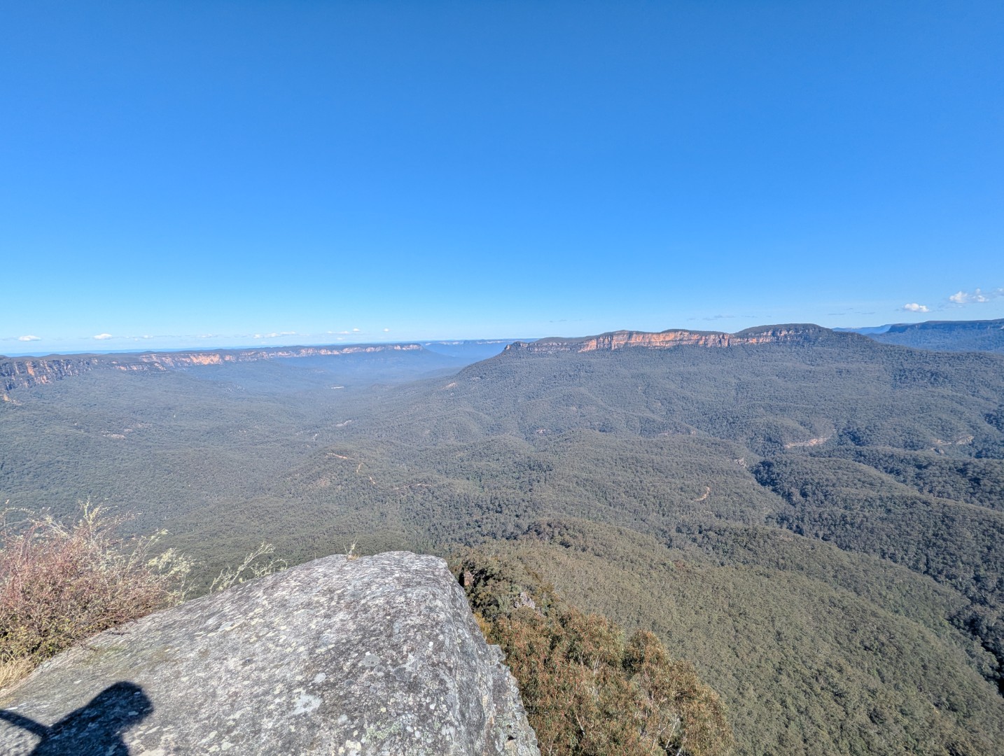
Thankfully everyone enjoyed the view and after a “5-minute break to enjoy the view” becomes 15 minutes, we head back to meet the others and continue the walk. Last time I was here (under 2 months ago), there was a truly abominable map at the start of this section. I told the group about its reprehensible design and sent them to enjoy seeing it - they spent a good 5 minutes trying to figure out why I took such offense with such an innocuous map before giving up.
Turns out NPWS had fixed the map… Thankfully I dedicated an entire paragraph of slander to this map on the report I wrote about that trip (read it here) which leaves only one possible solution. NPWS had read my influential post and decided to fix the map 👍🏼👍🏼
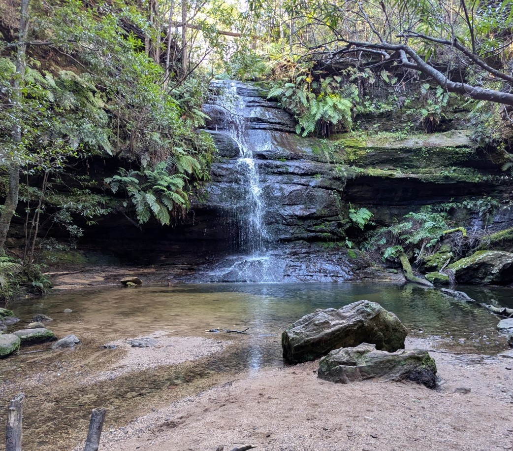
We stopped for lunch at the Pool of Siloam – this is about the halfway point of the trip. Group morale remained high but energy had started to fade, so it couldn’t have come at a better time. It’s a lovely spot out of the sun, cool weather, and nice rocks to sit on.
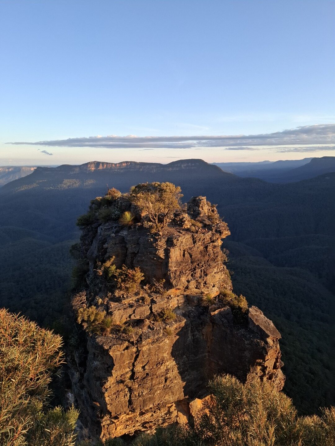
Full of energy, we blitzed our way up the next steep climb right past a picnic area (why eat at a picnic area if you can eat by a waterfall) and onto Elysian rock. Elysian comes from an old Greek word meaning heavenly, and the rock truly looks otherworldly.
The frequency of breaks started to slowly increase from here, with everyone’s legs slowly starting to feel the distance. Nonetheless everyone carries through, and the breaks are well timed with the high frequency of lookouts we now encounter!
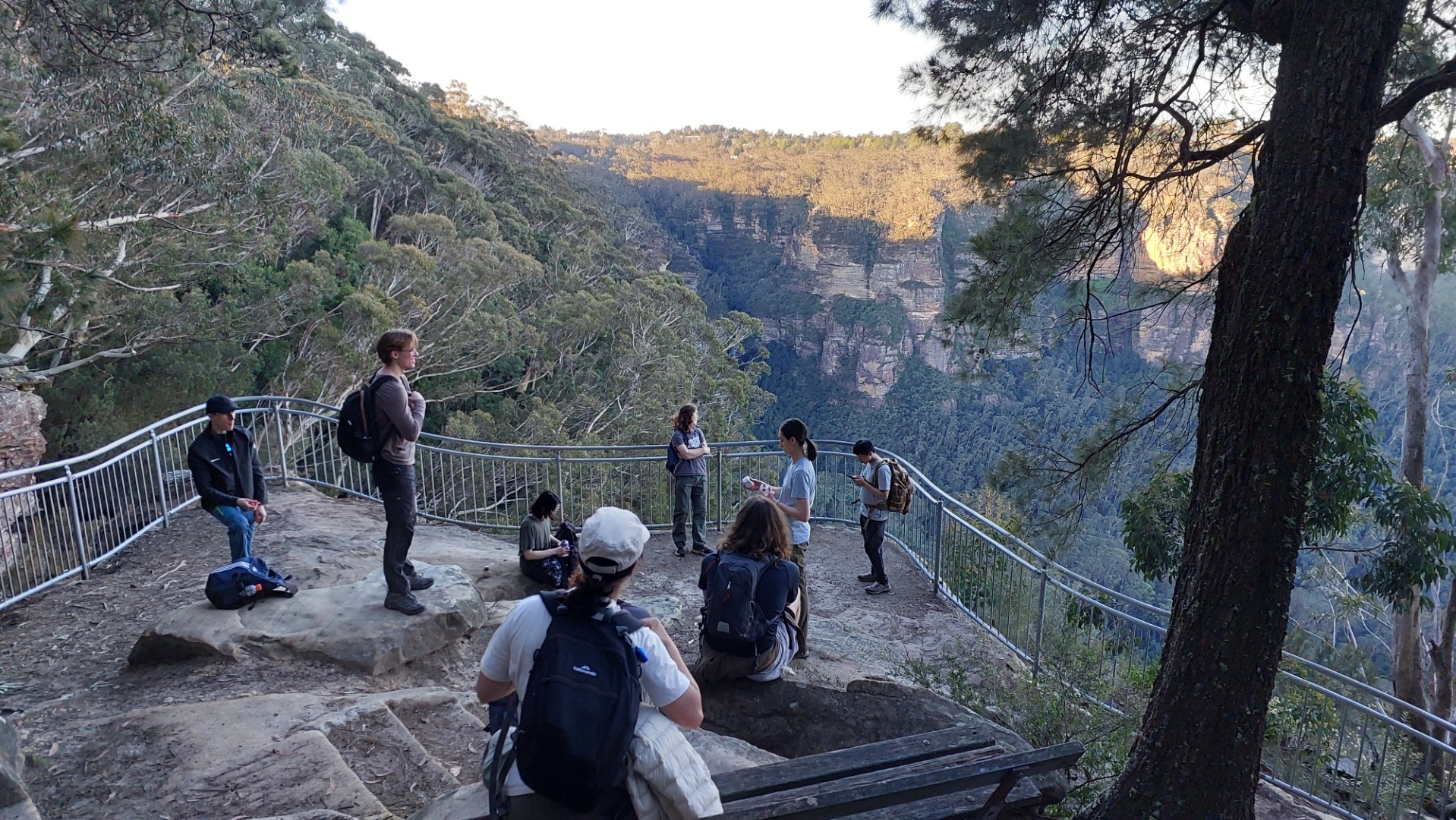
We stopped by a view over Bridal Veil Falls where we spy some budding instagrammers in the Instagram pool. Unfortunately nobody packed their swimsuit so the detour was a hard sell…
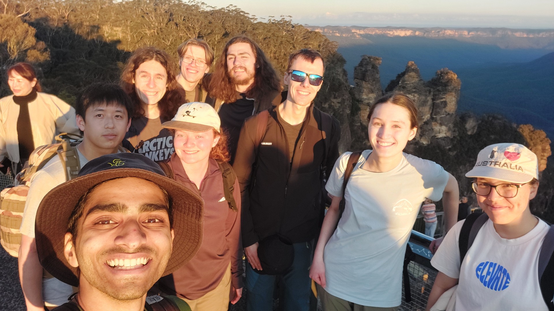
We make it to Echo Point right as the sun starts to set, about 30 minutes ahead of schedule! The original plan was for this next 2km section of the walk to be in the dark, leveraging the Katoomba Falls Night-lit Walk, however we got to enjoy the pinkening sky instead.
We round the corner and set our eyes on the prize. The signposts say our destination is 45 minutes away. Sophia bets me she can do it in 10. We settle for 30 minutes.
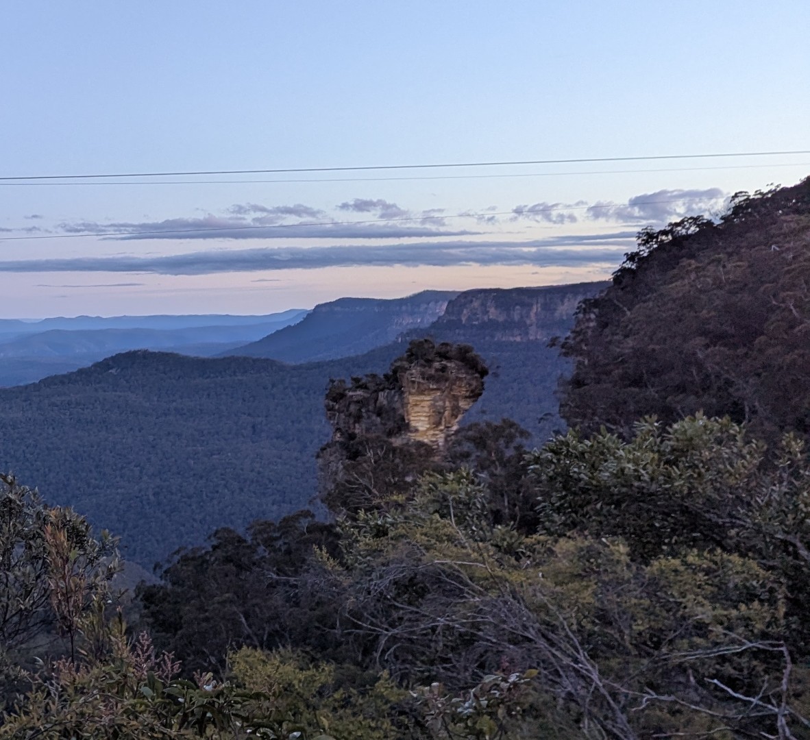
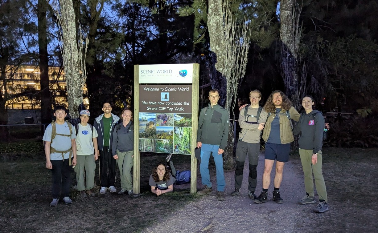
The night walk’s lights come on just as we pass Katoomba Falls, and I took an impromptu swim to celebrate (definitely didn’t slip). We pass the lovely Orphan Rock lookout where I’m given 60 seconds to impart a short history lesson, before we continue along the final stretch to Scenic World!
All up, we had a great time. The walk was very pleasant, and NPWS + Council have done an amazing job polishing up this route. Our group made light work of the official time estimate – starting at 10:45am and finishing at 6pm – just over 7 hours (including a total 2.5h of non-moving time).
If you have reasonable fitness, it is a great day trip and good practice for longer hikes. I highly recommend taking as many detours as possible to get all the unique views and angles!
A quick toilet pitstop and a bus later, we found ourselves in Katoomba town. We split up to grab dinner, before terrorising the station’s heated waiting room while waiting for our train.