After having been talking about doing the 3 peaks challenge for about a year, but never finding the time or the right conditions, I gave gotten impatient with this year’s season coming to an end and me still not having done it! So I found a weekend with a full moon and purposefully kept it free of appointments to finally set out to conquer the 3 peaks. All week I was checking the weather forecast: Some clouds on Friday night, not too hot on Saturday and light rain on Sunday midday. Not perfect but definitely acceptable.
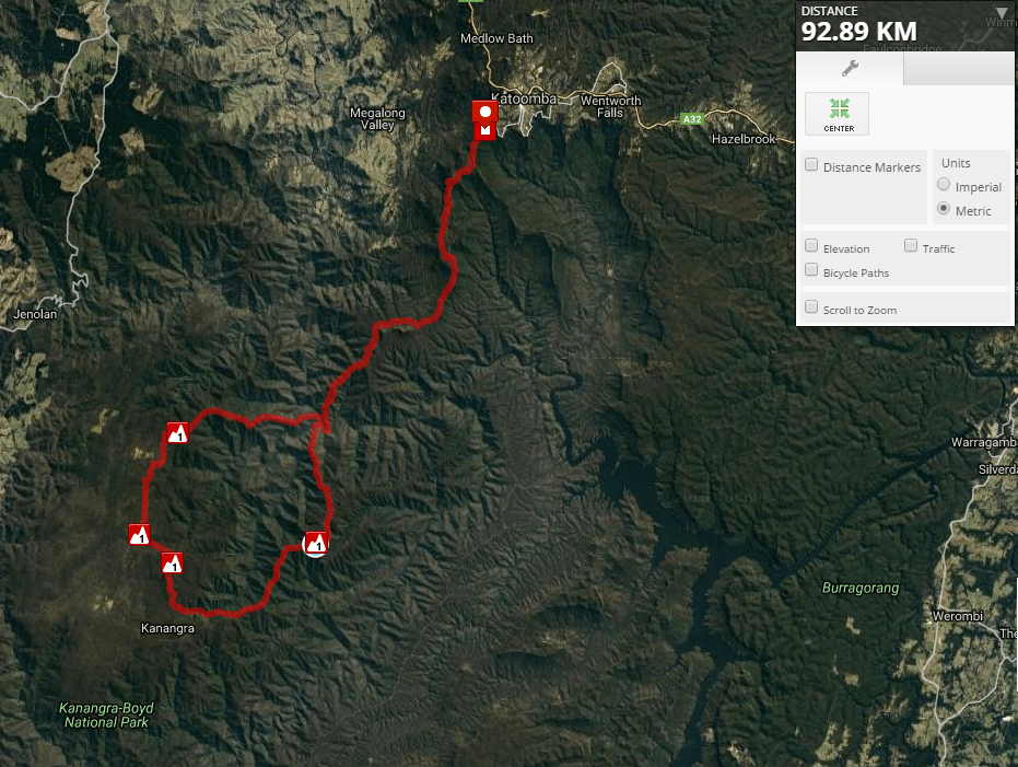
You don't know about the 3 peaks challenge? Well, wonder no more as I introduce you to a bush walk some call the hardest in the vicinity, a challenge so intriguing no true adventurist can pass up. The goal is to climb the 3 peaks of Cloudmaker, Paralyser and Guouogang starting at and returning to Katooma Narrow Neck in under 48h. This makes a trek of more than 90km and over 4000m of elevation gain. Find all the info here: http://members.ozemail.com.au/~aburke/3Peaks/index.htm
In recent years this has only been attempted by one other UNSWOC member (as far as I know), Alastair, whose report you can read here: http://unswoc.org/wordpress/2016/10/19/peaks/
When Friday came I packed a small bag, going not ultralight but at least light with:
a lightweight down jacket, an emergency blanket and a tiny piece of foam for “camping”,
a rain jacket and a thermal top, some muesli bars, cheese and wraps, chocolate and protein bars for food,
a PLB, a tiny first aid kid, a charging pack, ipod, phone with GPS and a knife (I forgot: sunscreen - capital sin, and electrolytes. a tip for other aspirants)
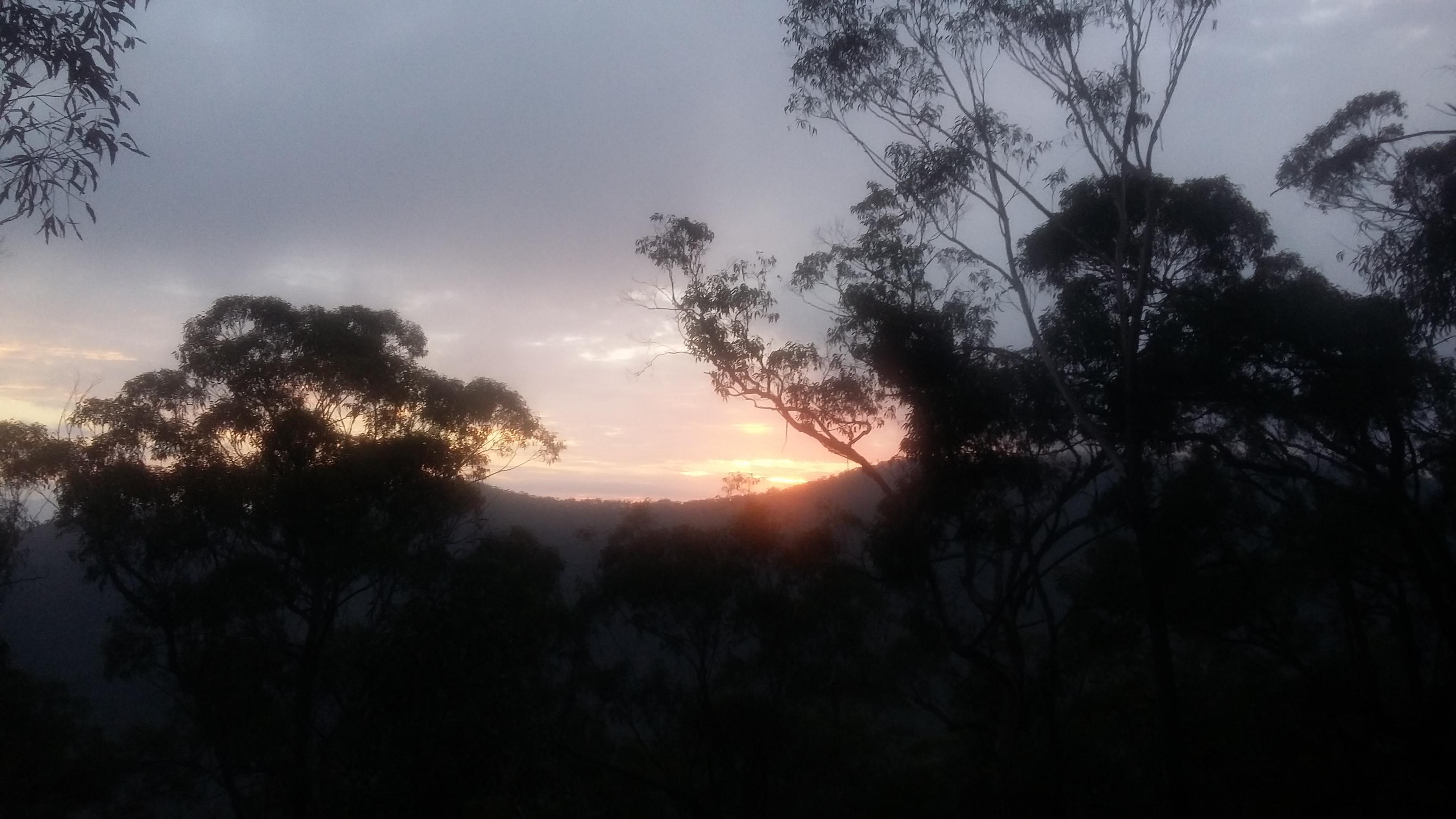
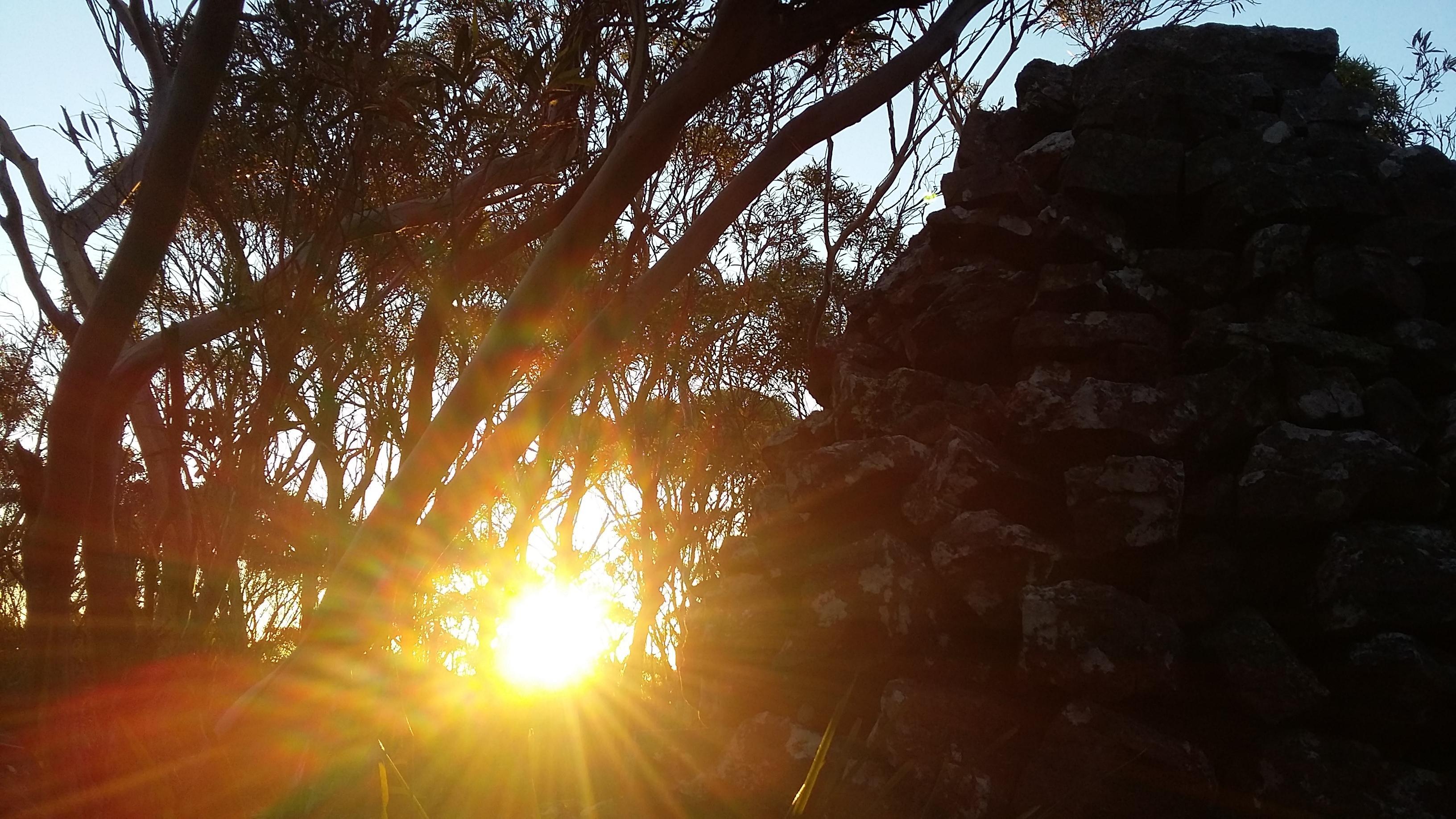
So I cycled to central, caught the train up and arrived at Katoomba at 10:20pm. It was raining! Just another of those times where the weather forecast for the blue mountains turned out to be inaccurate. My motivation was low, but I decided to stick to my plan anyway and after some procrastination slowly started cycling towards Narrow Neck. Around 10:40pm I arrived at the designated starting point, the climber’s car park at Narrow Neck. Here it was extremely foggy with a drizzle of rain. One could hardly see anything. After some more procrastination and deep aversion to head off in this weather, I started at 11pm. My head torch was diffusing the light in the fog/rain which made progress slow as I could barely even see my feet! Well, I was committed now so I just cranked up the music and kept moving steadily. Around 2h later I arrived at Tarros Ladder which made for some exciting down climbing in the rainy dark. I kept pushing on past Medlow gap and towards Moaks swap where I took a short rest before continuing to Mt Yellow Dog. By now the fog had eased off and occasionally I could even see the full moon! However, it was still quite tricky to follow the path in the dark as there were plenty of freshly fallen trees and branches obscuring the path after the recent storms. By 4:30am I finally reached Cox river. This part had taken longer than anticipated due to the weather and path finding difficulties in the dark. Moreover, I was quite tired so I decided to cross the river, eat some and catch a power nap of around 30min before tackling the first huge ascent. At 5:30am I started climbing Mt Strongleg. This is a fairly open ridge and was alright to climb in the dark. By the time I reached the summit, first light appeared so I could pack away my head torch.
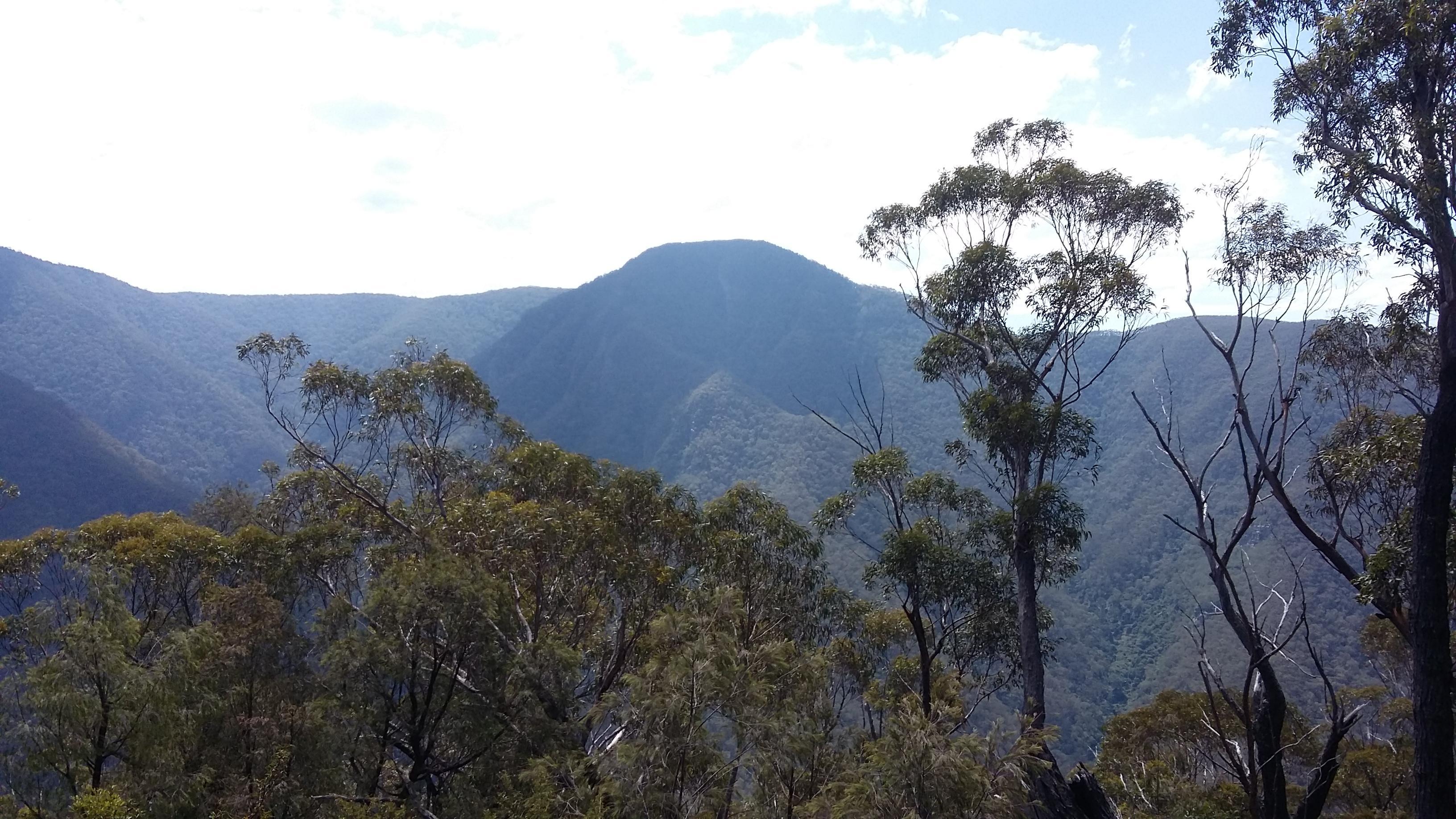
Form thereon there was a faint trail leading all the way to Mt Cloudmaker (1164m) which I reached at 8:40am. First of the 3 peaks in the bag! Slightly behind (I wanted to arrive at 8am) but still feasible.
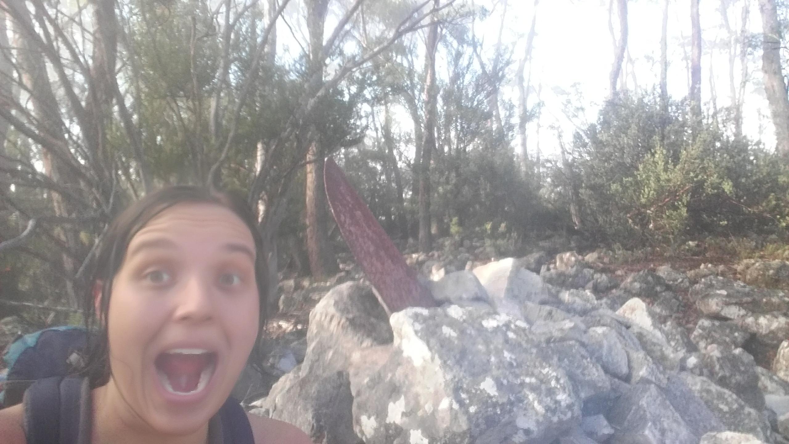
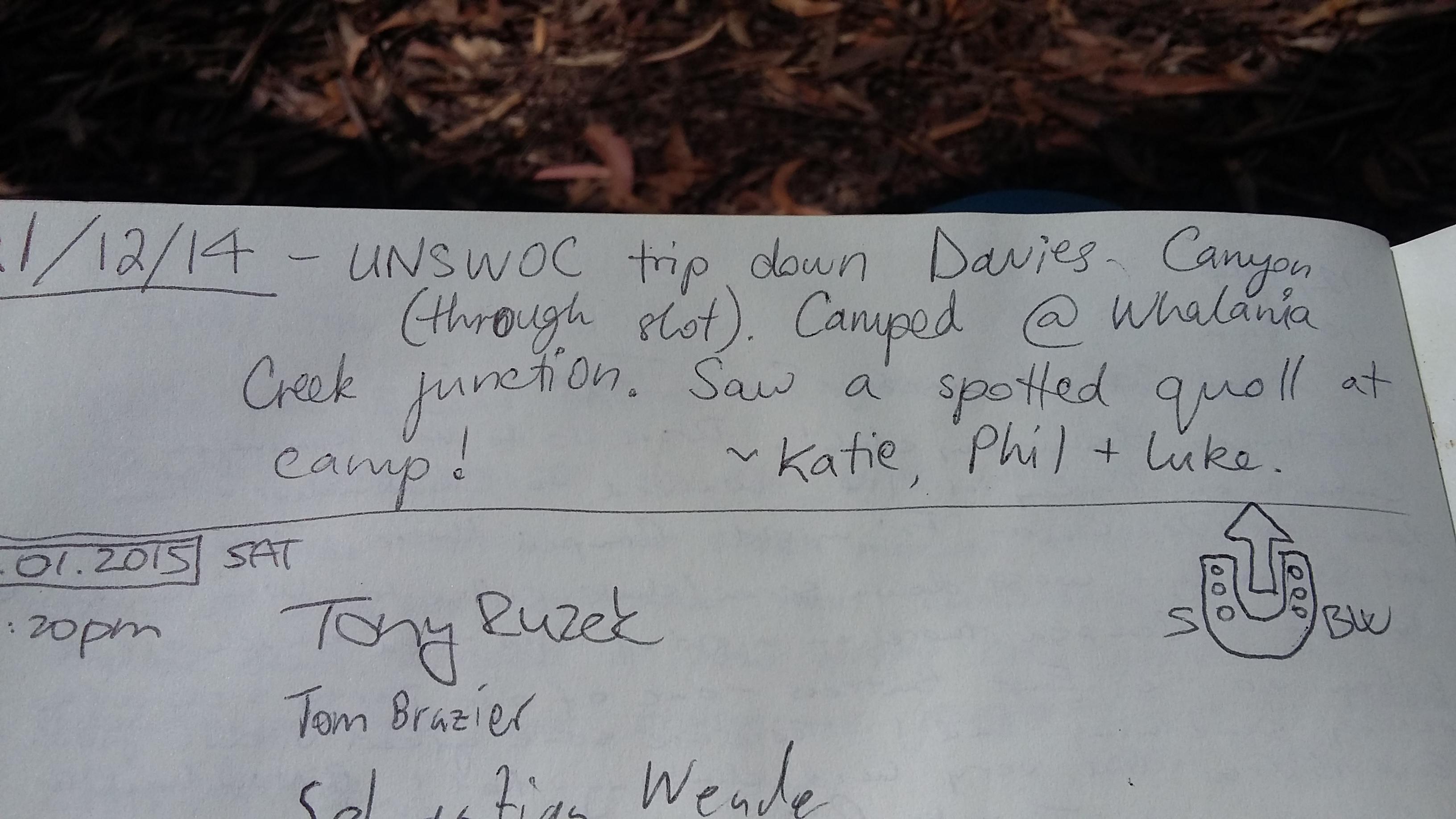
After a 15min break reading the log book while snacking I carried on past Rear Knoll to Mt Maroobra-Karoo. After some bush bashing and steep descent, I reached Kanangra creek at 11am. By now I was super thirsty and really glad to see the fresh running water. I filled up my bladder, rested for about 5min and headed straight off again up a steep ridge to the summit of Paralyser. This is a long slog that just keeps going. It was super hot, I was extremely fatigued, really thirsty (but had to ration my 2l of water as the next water supply was only down the other side of Paralyser) and I couldn’t stop thinking that I had to ascend even more than this shortly to get up the last peak. The thought of bailing definitely crossed my mind a couple of times, I have to admit. But I made it to the summit cairn of Mt Paralyser (1155m) by 1pm, wrote in the log book (I saw some old UNSWOC Davies canyon logs!), refuelled with some snacks and headed down to Whalania creek.
The ridge is fairly open, thus super hot (!) but good to walk on, except the last 300m of descent which go down a very steep scree slope.
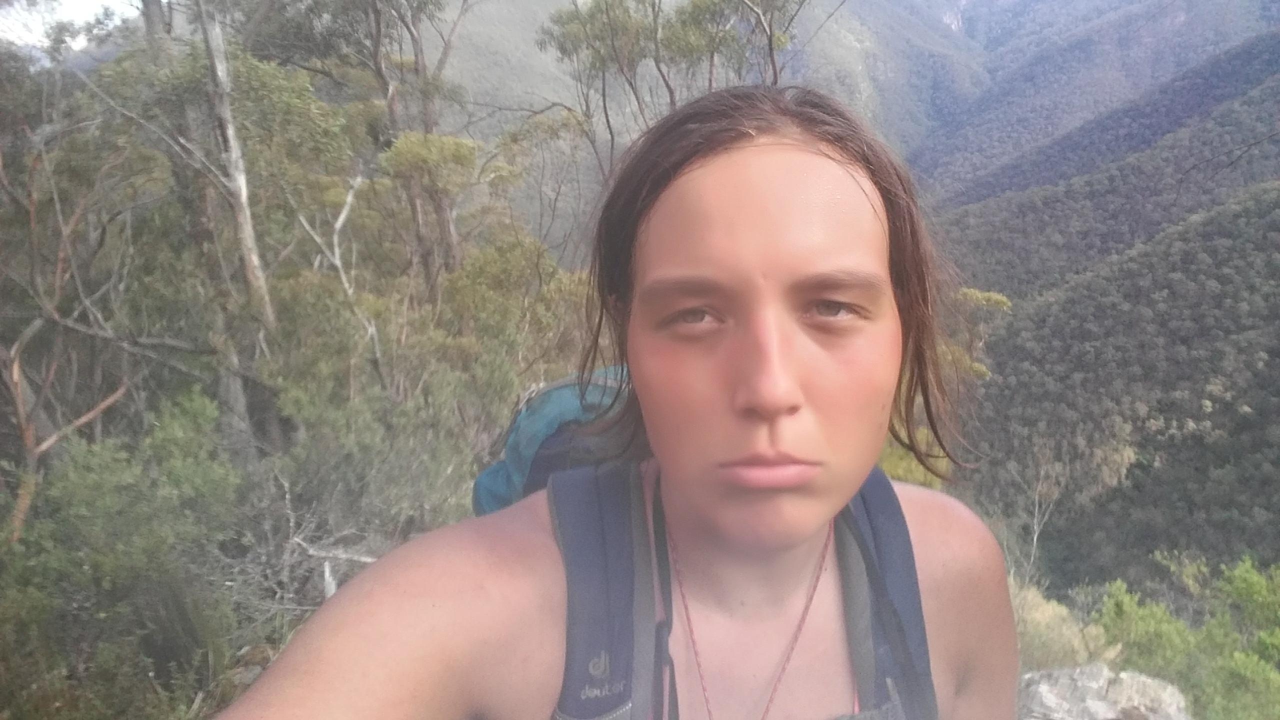
By 15pm I reached the creek, completely parched and overheated. I basically bathed in the water to try to cool down and drank as much as I could without getting nauseous. This was probably the first time the thought that I suffered from heat exhaustion and dehydration crossed my tired mind. So far I just assumed that I was tired from all the walking and sleep deprivation, but the fatigue was staggering, no amount of water could quench my thirst and I wasn’t ever hungry despite all the exercise, even got a bit nauseous if I tried to each more than one muesli bar. I seriously considered camping here for the night to recover, but in the end I really wanted to reach Guouogang by night fall and decided to give it a go with 3l of water to last me until the next morning. If I was getting too fatigued I could always stop somewhere along the ridge and rest there for the night, I thought. This plan in mind, I started upwards. It was relentlessly steep and sections that looked flat on my topo map turned out to be rocky outcrops that needed to be scrambled. At this point I was around half way up and felt quite dizzy from dehydration and heat exhaustion, which made for some exciting scrambling but the views were stunning.
Somehow I found the motivation to just keep going bit by bit until I was only 100m below the summit around 5:30pm or so. I was going to make it! Unfortunately, there some thick spiky scrub starts (lovingly called shitis guouogangities called by some) which made for some painful walking. Never was I as happy as when I stepped into the open forest at the top – now it was only a few hundred meters of easy walking and a bit of scrub to the cairn. At 6:15pm I collapsed at the cairn of Guouogang (1291m) and filled in the logbook, delirious and deliriously happy to have made it!
Originally I had planned to carry on down to at least Bullagowar in the rest of the day light and then down to the Cox. However, due to the serious heat exhaustion I was feeling by now, I made “camp” here, which meant lying down on my foam scrap with my emergency blanket after some dinner. It was surprisingly comfortable – or I was just that tired that any rest would have felt great. I set my alarm for 12:45am and passed out.
When my alarm rang in the middle of the night, I was extremely hesitant to get up but the thought of arriving to the river to refresh and drink as much as I wanted (and my determination to make it back to Katoomba by midday) made me start walking again at 1:30am. As the scrub is very thick around the summit it took me quite a while to find the right descent ridge in the dark - here the GPS on my phone really came in handy as I was stumbling through the scrub in the dark. I kept losing my bearing trying to weave through the scrub, checking my compass every five minutes was crucial. I finally found the right ridge though and started to descend. Progress was slow in the dark but steady. I was very careful with the navigation, keeping a look at my compass at all times, as the ridge turns quite a few times and is not very pronounced at times. This paid off as I stayed mostly on track. The lower half of the descent was actually quite pleasant as it is not that steep, fairly open and not too rocky like most of the rest of Guouogang – I was certainly glad to be done with scrambling/rock hopping as fatigue made it hard. At 5:20am I relished in the fresh water at Kanangra creek and the fact that there was a track from now on! After 30min of rest, rehydrated and in high spirits I crossed the Cox and went up Yellow Dog. This felt surprisingly good and the sun was rising. I was going strong again and kept pushing on past Moaks swamp, Medlow gap and up Tarros ladder.
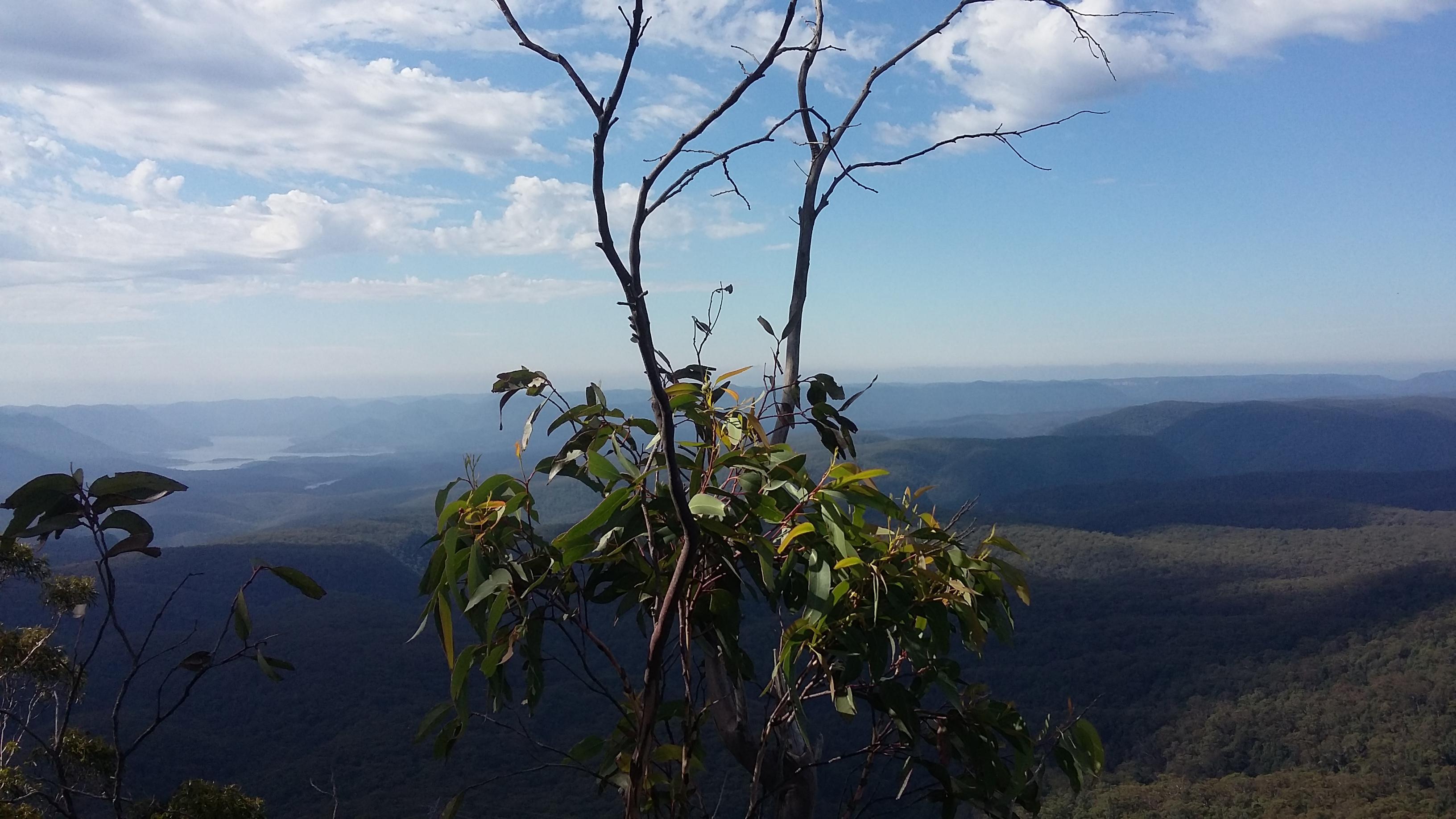
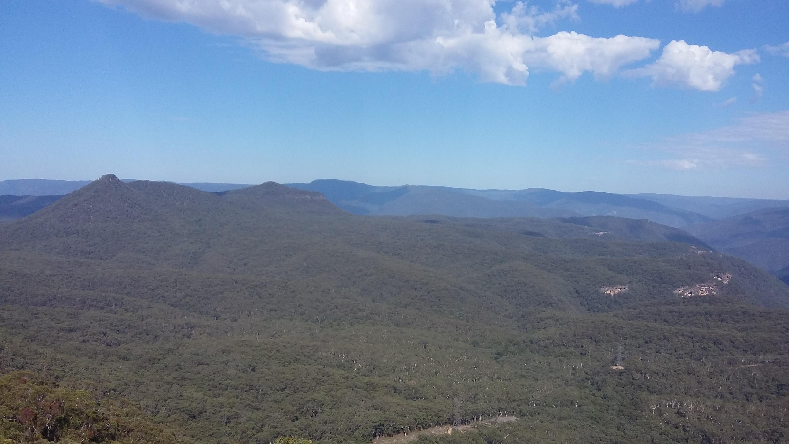
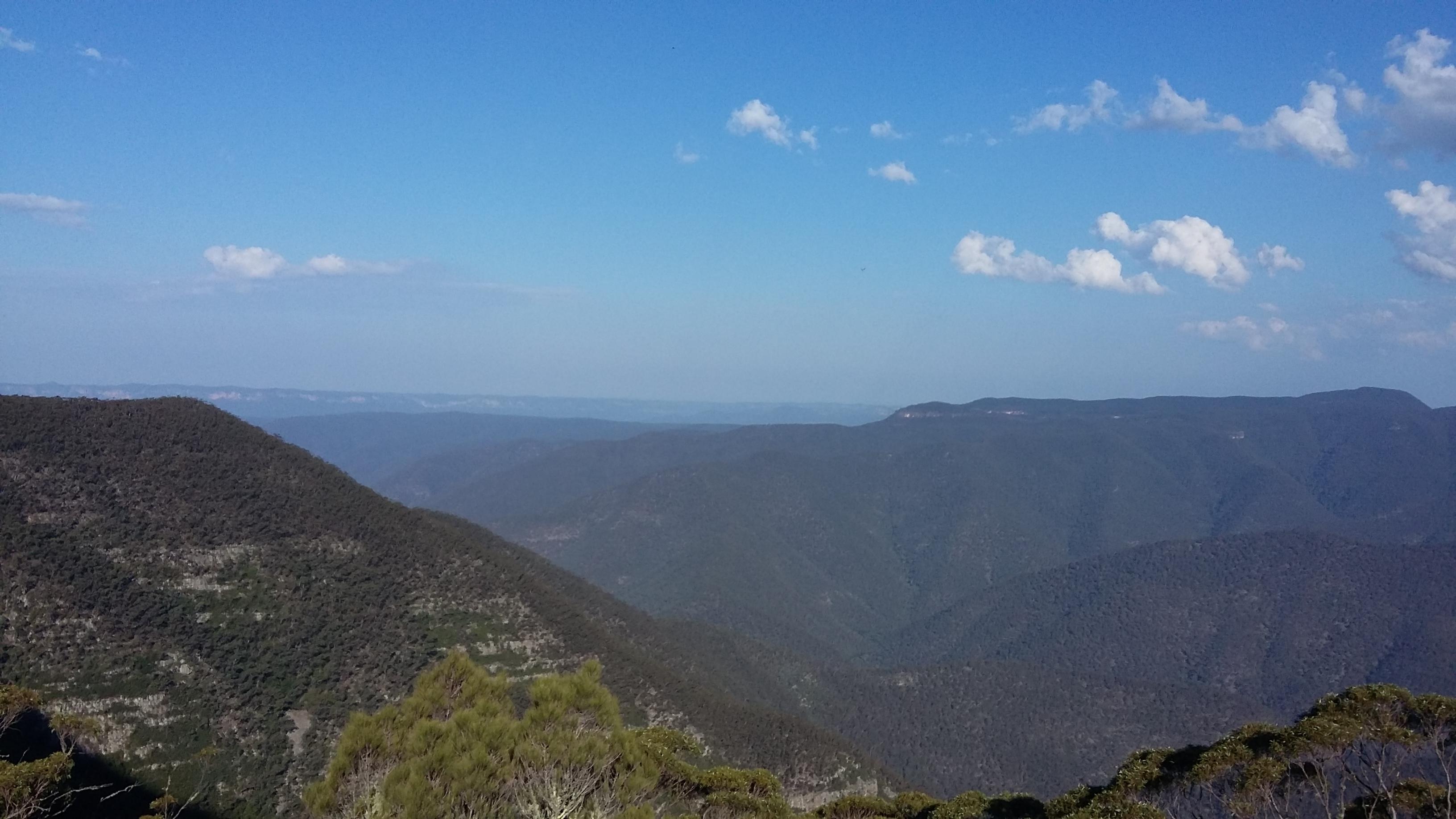
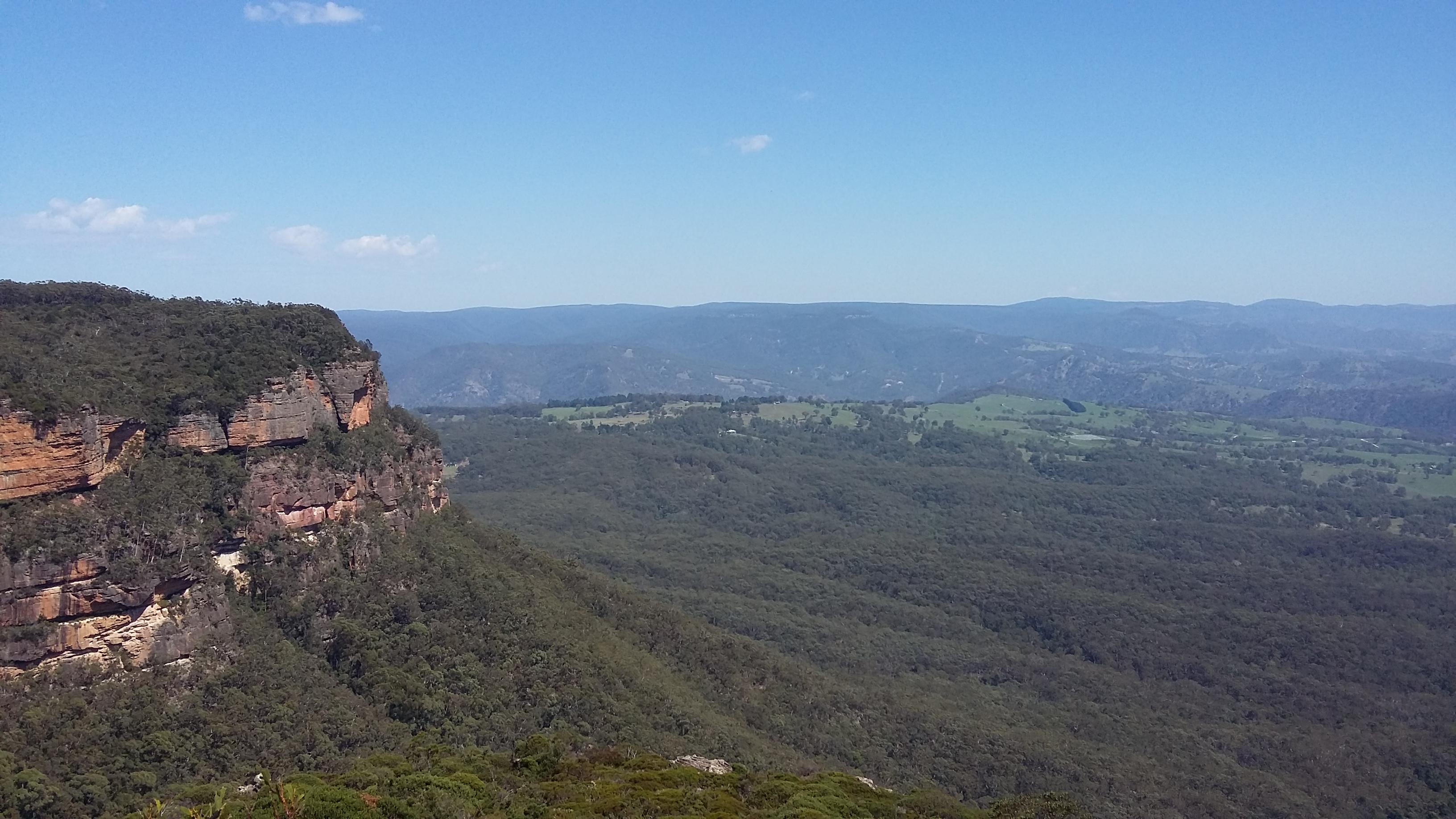
At the top I enjoyed the glorious views for a few moments and started the slog along Narrow neck, for the first time actually seeing the breathtaking views to be had here.
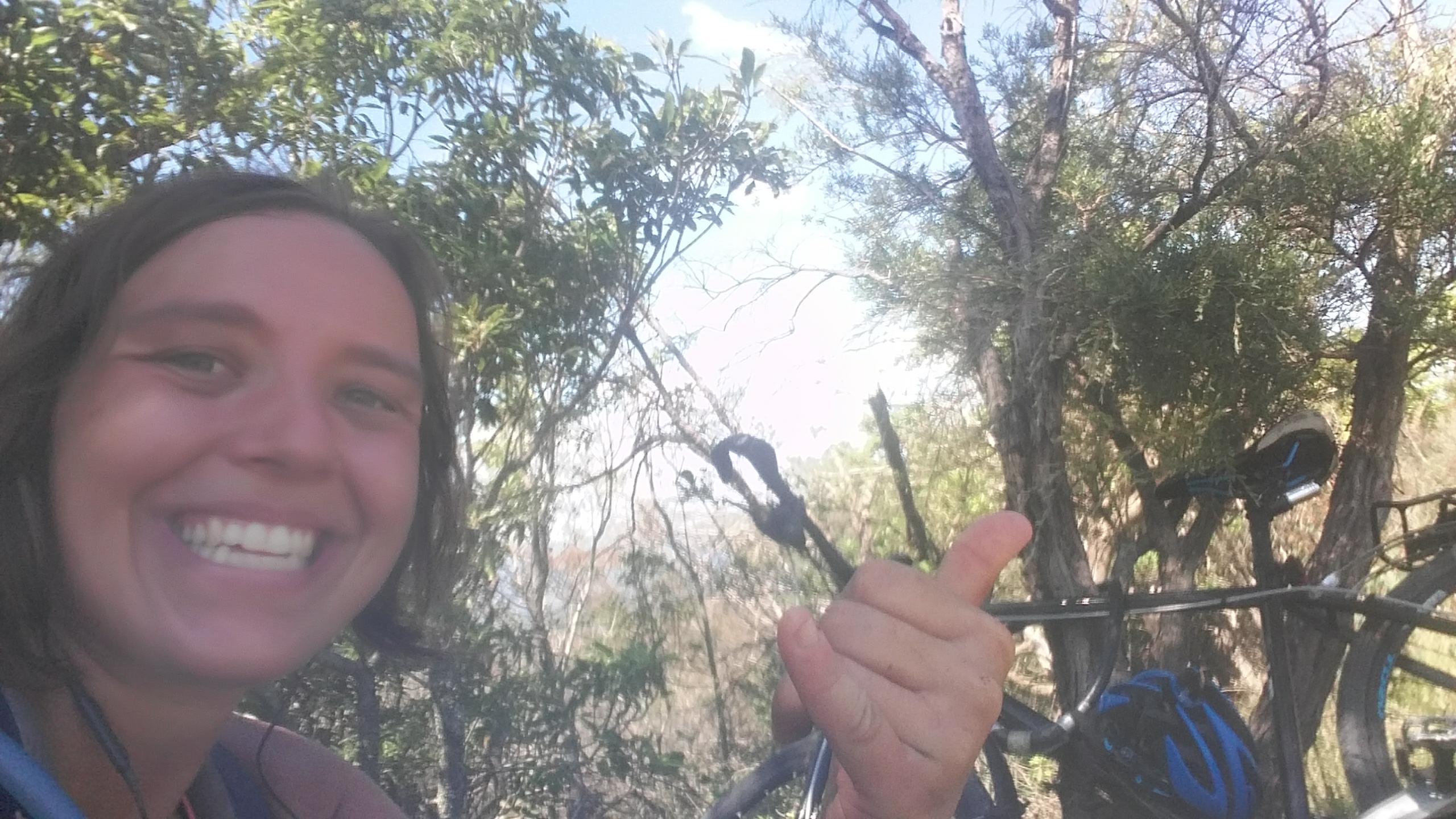
As expected this turned out to be hard, as suddenly as the small sores from the last 34h came up and my feet and neck hurt as hell, while I was being grilled in the direct midday sun. Never have 2h felt longer, but when I finally made it back to my bike at the car park it was 12:27pm. This means I had completed the 3 peaks in 37h and 27min in spite of all difficulties! YES! Finally done and dusted! With all the knowledge I learned on this trip about the navigation, the weather and what to bring, I'm sure I could shave of quite a few hours of this time, but I have to say, that I'm quite happy with this result and won't be back for a while at least. 😀
Now, who is next? Get on it! It’s some prime suffering, mixed with great views and a staggering sense of achievement.