Participants: Sam, Dave W, Alex, Nick, Garret, and Skye
It was just another one of those weekends, where it seemed like nothing would get organized until the very last minute. I'd even gone so far as to reach out to some SUBW members to see if anything was up... However, once a date, objective, and transport were decisively laid out on Friday night, we ended up with six people ready on Saturday morning.
The weekend was a bit chaotic up in the Blueys, due to the trains being shut down and replaced with buses. Luckily, we were able to organize lifts for everyone. The Narrowneck dirt road seemed to have been recently graded, and was in great condition, until the final hill just before the Golden Stairs carpark. We made a strategic retreat back down the hill in our unsuitable vehicles, to the large parking spot at the bottom. The main car park was packed, so this turned out to be a good decision.
The forecast was for 'windy', and it was obvious that this was extremely accurate from the moment we stepped out of the car doors. A peak of nearly 100km/h was recorded at Mt Boyce on the day! It was roaring! However, the moment we started descending the Golden Stairs to the lee side of the plateau, it became dead still. A huge change.
We were disappointed to find that the newly-upgraded Golden Stairs were not in fact golden, but merely reddish in parts.
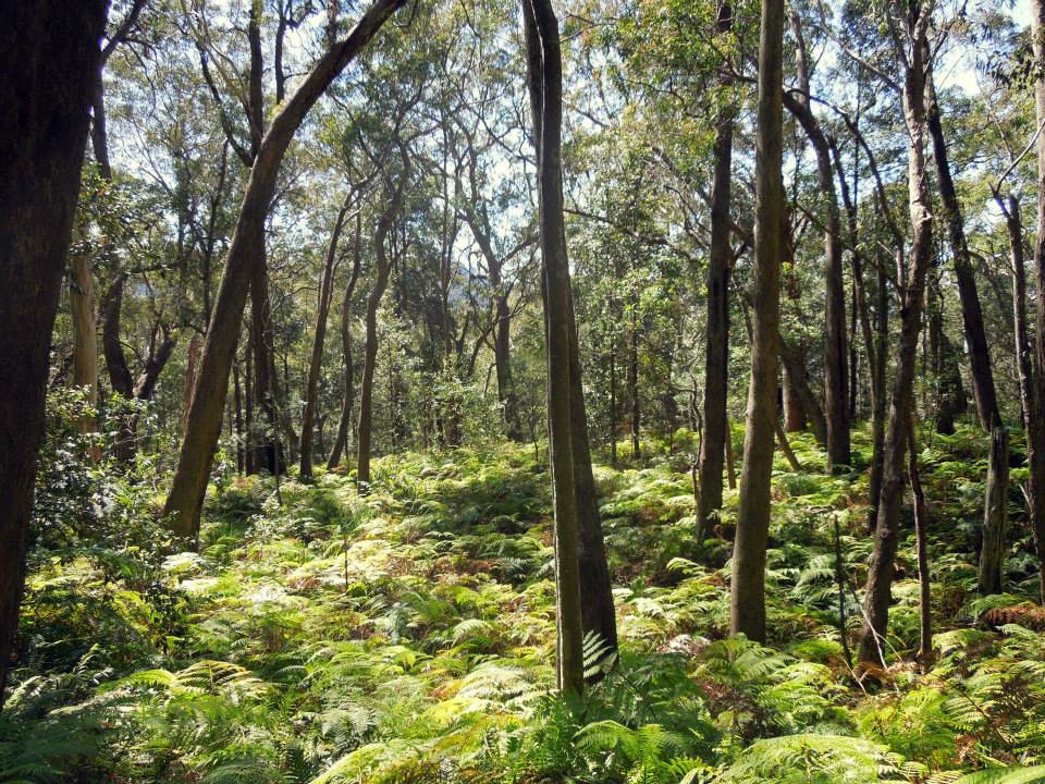
Down on the valley floor, we made good pace towards the Ruined Castle through the ferns and canopied forest.
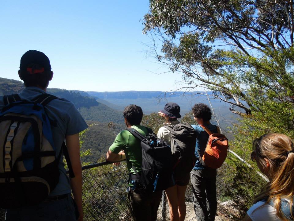
Soon we had climbed the ridge up to the Ruined Castle, and again faced the full brunt of the incredible wind.
The Castle itself is a small isolated rocky outcrop on a ridge. It provides fun scrambling challenges (when the scrambling is timed to avoid the wind gusts), and a good sport for a snack break.
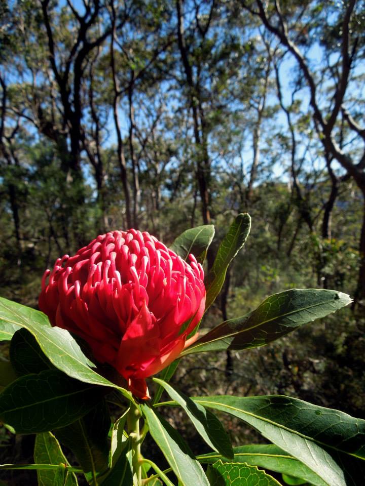
We slithered down the other side of the ridge and walked through pleasant drier bushland, with some spring flowers on display. Soon we were at the base of the Korrowall Knife-edge itself.
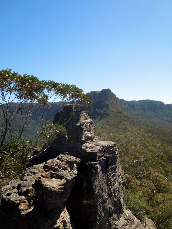
The scramble up the knife-edge was actually way more fun than I expected, easy to moderate 3rd-class in parts, and brought back pleasant memories of ridge traversing in Tassie. Some of the more climbing-minded in the group took on the challenge of straightening out the ridge as much as possible, which resulted in some bold stuff.
Although still brutally exposed, the ridge seemed to deflect the airstream upwards, leading to some amazingly sheltered calm positions, where only a few meters away trees looked like they were about to be uprooted!
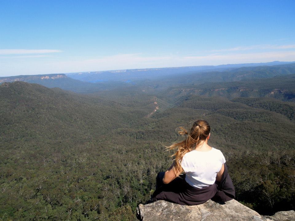
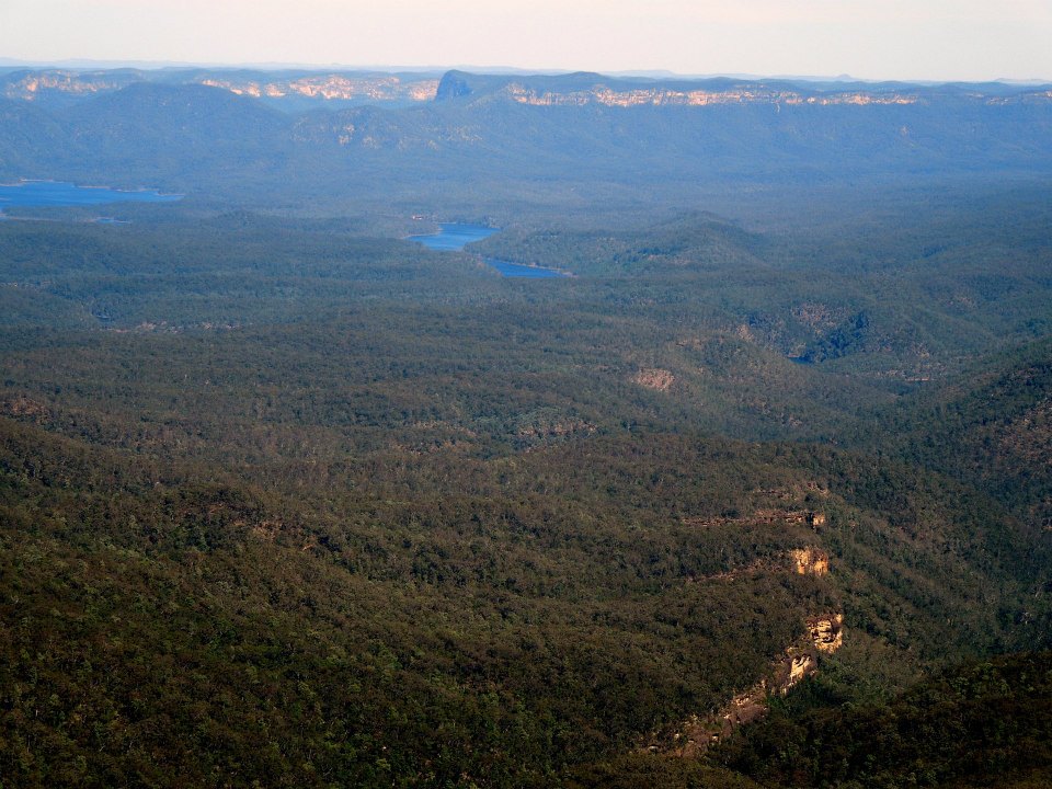
Finally, we reached the grove of casurinas on the summit plateau. This was sheltered and shaded and we had an excellent lunch.
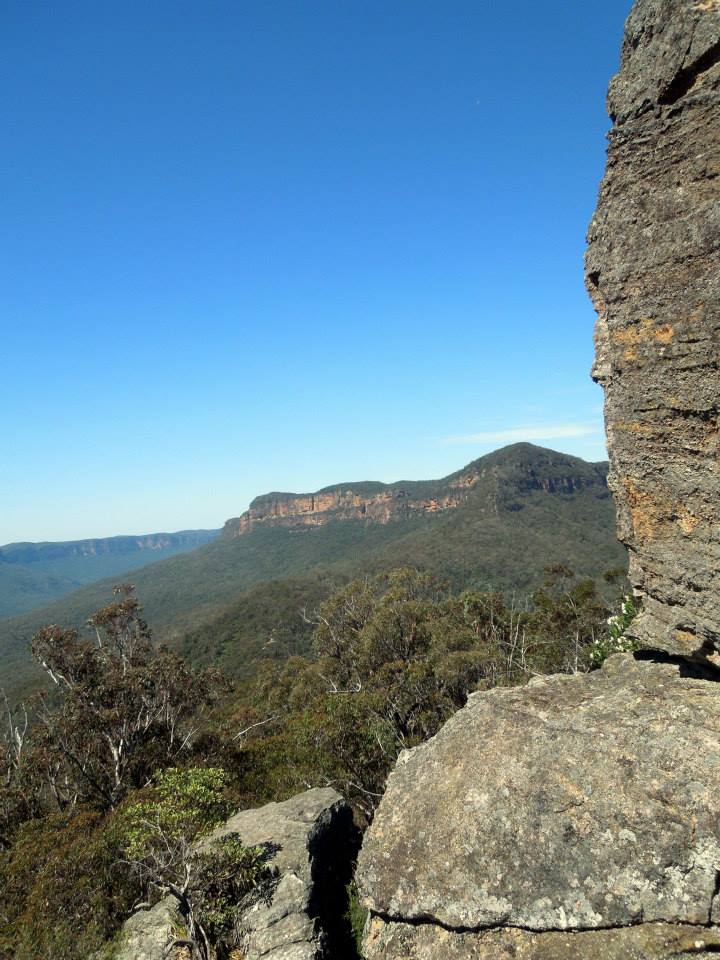
Although we had reached the top, the trees obscured most of the view. I'd had a tip though, and so we pushed on a little further - over the top of the western summit and down into the camp gully. This spot seems even less likely to provide views, but only a few meters south is an outcrop that provides one of the best lookouts in the mountains. From Lake Burragorang to Kanagra, the whole of the southern Blue Mountains is laid out. And was that even a glimpse of the hills around Mittagong in the distance...?
After a long indeterminate time of peaceful relaxation, we slowly climbed back up to the casurina grove and descended the ridge. I had thought that we were making a pretty relaxed pace, but on the way down, we ran into a few groups who were still heading up!
Back on the flatter ground of the valley floor, we walked at a good pace, having seen it all before on the way. The sun was on its way down behind the Narrowneck plateau, and the ferns and forest were now surprisingly gloomy and shadowed.
The pace continued until we reached the bottom of the Golden Stairs, where a sign indicated the hundreds of steps up the steep pass would take 45 minutes.
"I reckon half that!" said someone.
"Less," I said, "twenty minutes."
"Fifteen!" said Dave. "What's the time?"
"Nine minutes to four..."
"We can make it to the carpark before then!"
And at that point the afterburners were well and truly on. After I tried leading at a 'sustainable pace' Dave overtook me, and was soon out of sight, with only a few grunts echoing down the ladders Powered by pure ego, he managed an ascent of the Golden Stairs in something like ten and a half minutes. The rest of us were not far behind at around fifteen minutes!
The gloomy forest was now far below us, and we basked in the sunshine on the Narrowneck plateau...only to find that Alex had left the car lights on, and the battery was flat (AGAIN) ! Luckily, if you remember, the carpark was full, so we didn't have to wait long before we were able to flag down some wonderful people with jumper leads who were able to help out.
We drove back to Katoomba and had milkshakes, before saying goodbye. This time, Alex's car started fine. An excellent day.